


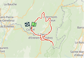

14.4 km | 27 km-effort

User


FREE GPS app for hiking
 SityTrail
IGN / Geographical institutes
SityTrail World
The world is yours!
Trail Road bike of 34 km to be discovered at Auvergne-Rhône-Alpes, Savoy, Corbel. This trail is proposed by Geneviève Robardey.


Walking

Snowshoes

Snowshoes

Walking

Walking

Walking

Walking

Walking

Walking
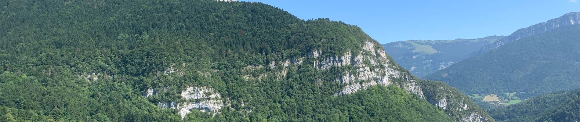
Magnifique rando, gardez des forces pour la fin !!😅