


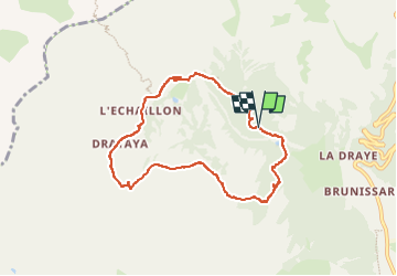

11.7 km | 19.7 km-effort

User


FREE GPS app for hiking
 SityTrail
IGN / Geographical institutes
SityTrail World
The world is yours!
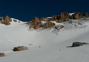
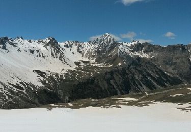
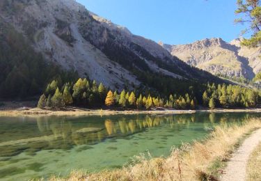
Trail Walking of 7.7 km to be discovered at Provence-Alpes-Côte d'Azur, Hautes-Alpes, Arvieux. This trail is proposed by jibebouvier.
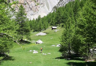
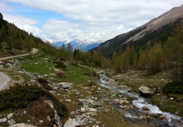
en partant du Camping, petit tour facile et très joli, paysage et terrain varié.
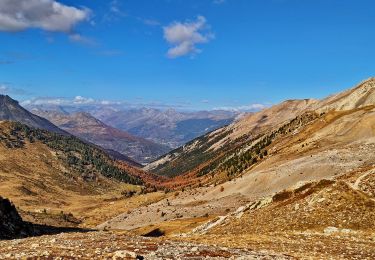
Descente par le bois du Cros, le chemin "normal" est éboulé d'où la "variante", très facile et bien courante ;-)
prévoir un maillot de bain pour piquer une tête dans le plan d'eau à l'arrivée !


Walking
Via ferrata
Walking
Other activity
Other activity

Other activity
Walking
Walking
Walking