


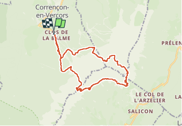

7.7 km | 13.8 km-effort

User


FREE GPS app for hiking
 SityTrail
IGN / Geographical institutes
SityTrail World
The world is yours!
Trail Walking of 19 km to be discovered at Auvergne-Rhône-Alpes, Isère, Corrençon-en-Vercors. This trail is proposed by ajd26.
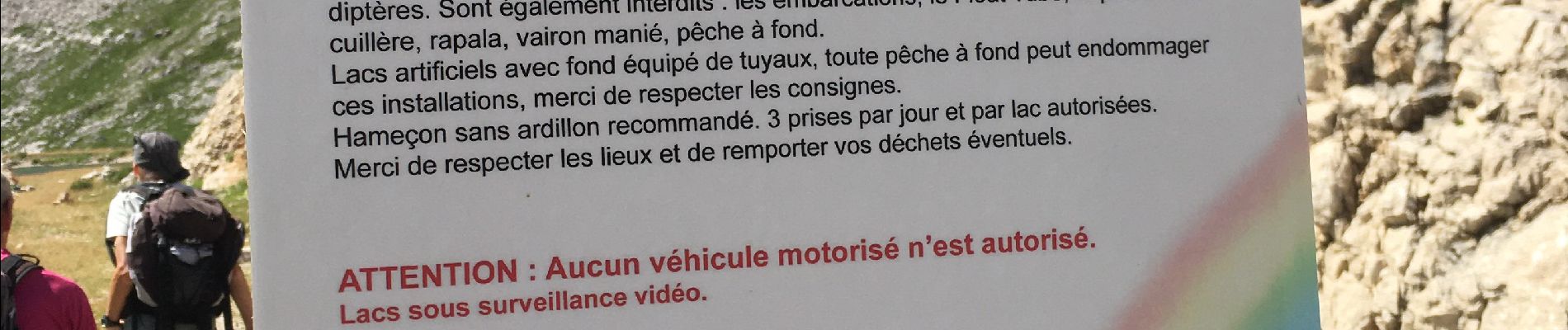
attention la descente du col des 2 soeurs est très abrupte et vertigineuse,
déconseillé aux personnes qui craignent le vertige
uniquement pour randonneurs confirmés


Walking

Walking

Mountain bike

Walking

Walking

Walking

Walking

Touring skiing

Walking