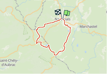

17.5 km | 20 km-effort

User GUIDE


FREE GPS app for hiking
 SityTrail
IGN / Geographical institutes
SityTrail World
The world is yours!
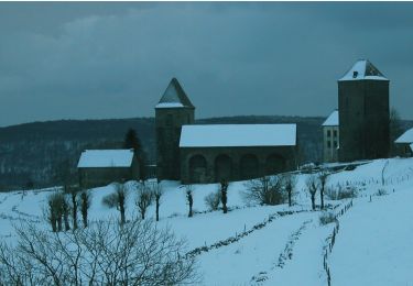
Trail Walking of 25 km to be discovered at Occitania, Lozère, Nasbinals. This trail is proposed by antignacs.
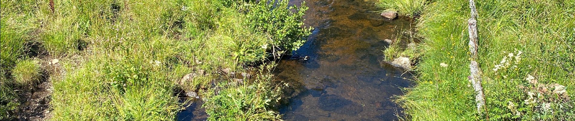
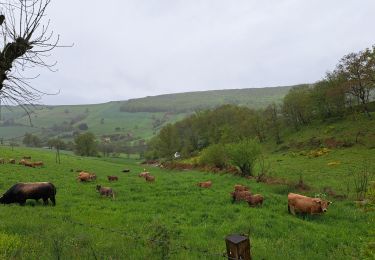
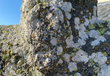
Superbe, éviter les estives entre lac des moines et Aubrac pas à cause des vaches mais de la gadoue dans le creux , prendre soit GR6 soit rester sur la route.
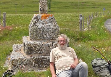
L’arrêt à Aubrac permet de prendre un pot ou de déjeuner


Walking

Walking
Walking
On foot

Walking
Walking
Walking
Walking