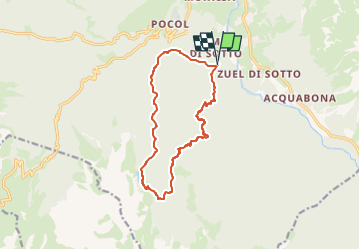


3.6 km | 6.5 km-effort

User


FREE GPS app for hiking
 SityTrail
IGN / Geographical institutes
SityTrail World
The world is yours!
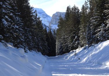
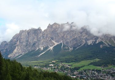
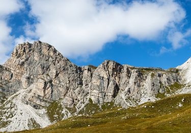
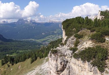
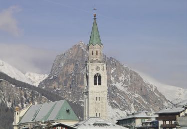
Trail Walking of 13.3 km to be discovered at Veneto, Belluno, Cortina d'Ampezzo. This trail is proposed by michelek.
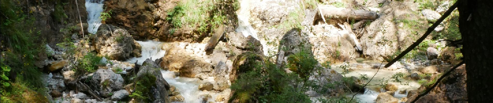
Magnifique alternative aux très courus Cinque Torre ou Lac de Serapis. Montée dans les Gorges de la Federa jusqu'au Lac (Refuge) et descente par le sentier 431 puis 430.


On foot
On foot
On foot
On foot