Trail Equestrian Obersaasheim - 20150426T Dim Balade à Obersaasheim - Pays de Brisach WS - Photo

20150426T Dim Balade à Obersaasheim - Pays de Brisach WS

© OpenStreetMap contributors
Length
Length
33 km
Max alt
Max alt
206 m
Uphill gradient
Uphill gradient
203 m
Km-Effort
Km-Effort  
35 km
Min alt
Min alt
184 m
Downhill gradient
Downhill gradient
203 m
Boucle
Boucle
Yes
Creation date :
2015-04-27 00:00:00.0
Updated on :
2022-04-22 19:52:54.504

(0 Reviews)

Equestrian
Equestrian
4h27
Difficulty : Unknown

Scan this QR Code to open this trail in the SityTrail application

FREE GPS app for hiking

Logo SityTrail SityTrail

IGN / Geographical institutes

Download SityTrail from the App Store Download SityTrail from Google Play

Logo SityTrail SityTrail World

The world is yours!

Download SityTrail from the App Store Download SityTrail from Google Play Download SityTrail on Huawei AppGallery

About

Trail Equestrian of 33 km to be discovered at Grand Est, Haut-Rhin, Obersaasheim. This trail is proposed by johann.holl.

Description

Dimanche 26 avril 2015.

Participants : Claudia BIELLMANN, Laura RIEGEL, Lysiane DIETSCH, Mireille MOSSER, Noëlle ABELE, Sonia SITTLER, Sophie MOSSER, David RIEGEL et Johann HOLL.

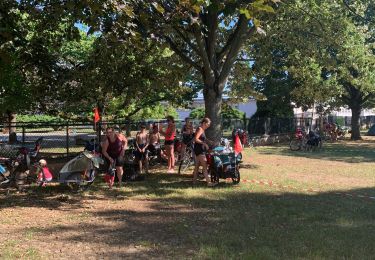
Sortie organisée par Claudia. Pour certains, nous nous sommes déjà retrouvés le samedi en fin d'après-midi. Les chevaux ont passé la nuit sur les parcs préparés par Claudia. Nous avons ensuite pris la direction de Neuf-Brisach pour le repas du soir dans le restaurant 'La LUNATE' ou Emilie H. nous a rejoint.
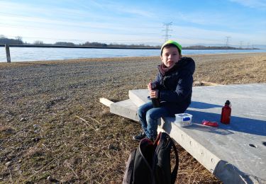
Dimanche matin, quelle belle surprise que de se réveiller et de voir les rayons du soleil et aucun nuage à l'horizon ; la météo ne devait pas être si clémente à la base. Vers 9h45, nous nous sommes mis en selle pour une journée d'environ 32.5 km. Passage à proximité de Heiteren et de Geiswasser. Nous avons ensuite longé le Canal d'Alsace vers le nord jusqu'au barrage électrique de Vogelgrun. Traversé du Canal d'Alsace pour aller sur l'Ile du Rhin où nous avons fait la pause casse-croute dans une petite clairière. Retour par Vogelgrun et Algolsheim.

Elevation profile

Positioning

Country:
France
Region :
Grand Est
Department/Province :
Haut-Rhin
Municipality :
Obersaasheim
Location:
Unknown
Start:(UTM)
392227 ; 5316284 (32T) N.

Trails nearby

Trail Walking Vogelgrun - vogel - Photo
Walking
Marcel Momi

Walking

Difficult
Vogelgrun, Grand Est, Haut-Rhin, France
15.7 km | 17.8 km-effort
20h 19min
Yes
Trail Walking Vogelgrun - vogelgrun - Photo
Walking
Marcel Momi

Walking

Difficult
Vogelgrun, Grand Est, Haut-Rhin, France
15.5 km | 17.7 km-effort
4h 8min
Yes
Trail Bicycle tourism Biesheim - ELSASS BIKE 2020 - ETAPE 6 - Photo
Bicycle tourism
Christian Arnold

Bicycle tourism

Easy
Biesheim, Grand Est, Haut-Rhin, France
36 km | 38 km-effort
2h 38min
No
Trail Bicycle tourism Neuf-Brisach - ADN - Cesenatico Tronçon 6 - Photo
Bicycle tourism
m.devil

Bicycle tourism

Very difficult
Neuf-Brisach, Grand Est, Haut-Rhin, France
96 km | 109 km-effort
Unknown
No
Trail Walking Vogelgrun - ile rhin - Photo
Walking
Hub6877

Walking

Medium
Vogelgrun, Grand Est, Haut-Rhin, France
7.4 km | 8.3 km-effort
2h 27min
Yes
Trail Walking Vogelgrun - vogelgrun - Photo
Walking
Marcel Momi

Walking

Very difficult
Vogelgrun, Grand Est, Haut-Rhin, France
17.1 km | 19.4 km-effort
4h 59min
Yes
Trail Walking Vogelgrun - vog - Photo
Walking
Marcel Momi

Walking

Difficult
Vogelgrun, Grand Est, Haut-Rhin, France
16.2 km | 18.1 km-effort
3h 47min
Yes
Trail Walking Vogelgrun - vogelgrun - Photo
Walking
Marcel Momi

Walking

Difficult
Vogelgrun, Grand Est, Haut-Rhin, France
12.7 km | 14.5 km-effort
3h 9min
Yes
Trail Walking Vogelgrun - vogelgrun - Photo
Walking
Marcel Momi

Walking

Difficult
Vogelgrun, Grand Est, Haut-Rhin, France
10.7 km | 12.3 km-effort
3h 15min
Yes


Close
My subscriptions