


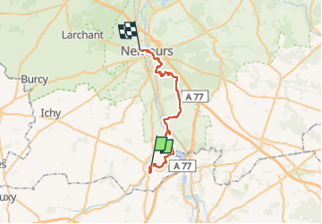

21 km | 24 km-effort


User GUIDE


FREE GPS app for hiking
 SityTrail
IGN / Geographical institutes
SityTrail World
The world is yours!
Trail Walking of 32 km to be discovered at Ile-de-France, Seine-et-Marne, Château-Landon. This trail is proposed by chessyca.
Rando liberté pour le RCY
Bus 34 b au départ de Melun
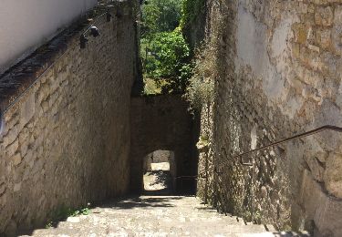
Les chemins en forêt de Nemours sont très sympas à suivre, un peu sportif
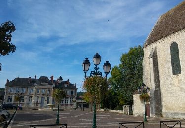
En dehors de cela peu de difficultés et une rando très scénique


Walking

Walking

Walking

Walking


sport
Other activity

Road bike
Road bike
Walking