![Trail Car Unknown - Ela-Tun - Photo](https://media.geolcdn.com/t/1900/400/02ec5d4d-0882-47a4-be78-e139aa9482b4.jpg&format=pjpeg&maxdim=2)
Ela-Tun
helmut68
User
![Length](/images/other/stat-length.png)
Length
80 km
![Max alt](https://static1.geolcdn.com/siteimages/upload/files/1508320355ic_sort_altitude_max_24dp.png)
Max alt
1556 m
![Uphill gradient](https://static1.geolcdn.com/siteimages/upload/files/1508320355ic_sort_den_pos_24dp.png)
Uphill gradient
2029 m
![Km-Effort](/images/other/stat-length.png)
Km-Effort
108 km
![Min alt](https://static1.geolcdn.com/siteimages/upload/files/1508320355ic_sort_altitude_min_24dp.png)
Min alt
820 m
![Downhill gradient](https://static1.geolcdn.com/siteimages/upload/files/1508320355ic_sort_den_neg_24dp.png)
Downhill gradient
2139 m
![Boucle](https://static1.geolcdn.com/siteimages/upload/files/16400158638029165_repeat_loop_refresh_sync_direction_icon.png)
Boucle
No
Creation date :
2024-07-20 07:22:36.809
Updated on :
2024-07-21 22:04:06.22
![Car](https://static1.geolcdn.com/sitytour/trail-icons/401.png)
1h42
Difficulty : Very easy
![Scan this QR Code to open this trail in the SityTrail application](https://capi.geolives.com/qq0zvz2zws4bq2lad0pu/sitytour/trails/4129929/qr.png?size=200)
FREE GPS app for hiking
About
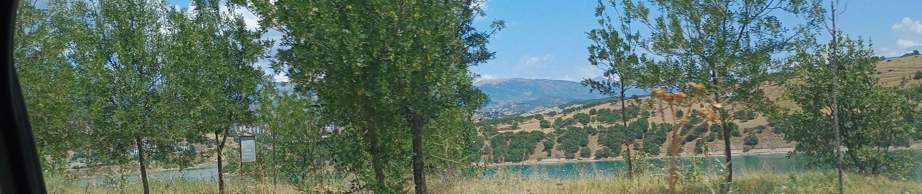
Trail Car of 80 km to be discovered at Elazığ, Elazığ merkez. This trail is proposed by helmut68.
Positioning
Country:
Turkey
Region :
Elazığ
Department/Province :
Elazığ merkez
Municipality :
Unknown
Location:
Unknown
Start:(Dec)
Start:(UTM)
518143 ; 4277517 (37S) N.
Comments
Trails nearby