


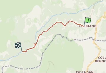

7.5 km | 13.8 km-effort

User


FREE GPS app for hiking
 SityTrail
IGN / Geographical institutes
SityTrail World
The world is yours!
Trail Walking of 4.8 km to be discovered at Marche, Fermo, Montefortino. This trail is proposed by maarten.avet.
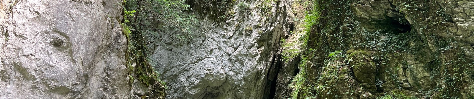
Tocht vanaf het gehucht Rubbiano naar de kloof van de fiume Tenna tot aan de splitsing naar het San Leonardo klooster en terug


On foot
On foot

On foot

On foot

On foot
On foot
On foot
On foot
On foot