


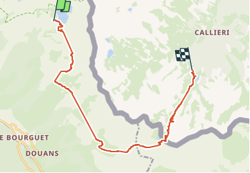

19.5 km | 40 km-effort


User


FREE GPS app for hiking
 SityTrail
IGN / Geographical institutes
SityTrail World
The world is yours!
Trail Walking of 15.7 km to be discovered at Provence-Alpes-Côte d'Azur, Maritime Alps, Saint-Étienne-de-Tinée. This trail is proposed by domthom.
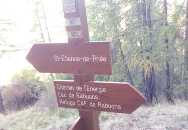
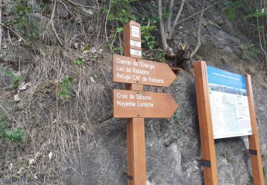
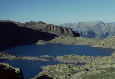
départ bien physique en dénivelé positif. Poursuite en balcon puis descente très longue côté italien jusqu'au lac Bernolfo et le refuge Alexandris Foche.


Walking

Walking

Walking
Walking

On foot

On foot

On foot

On foot
On foot