


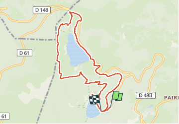


22 km | 31 km-effort

User


FREE GPS app for hiking
 SityTrail
IGN / Geographical institutes
SityTrail World
The world is yours!
Trail Walking of 10 km to be discovered at Grand Est, Haut-Rhin, Orbey. This trail is proposed by jcguew.
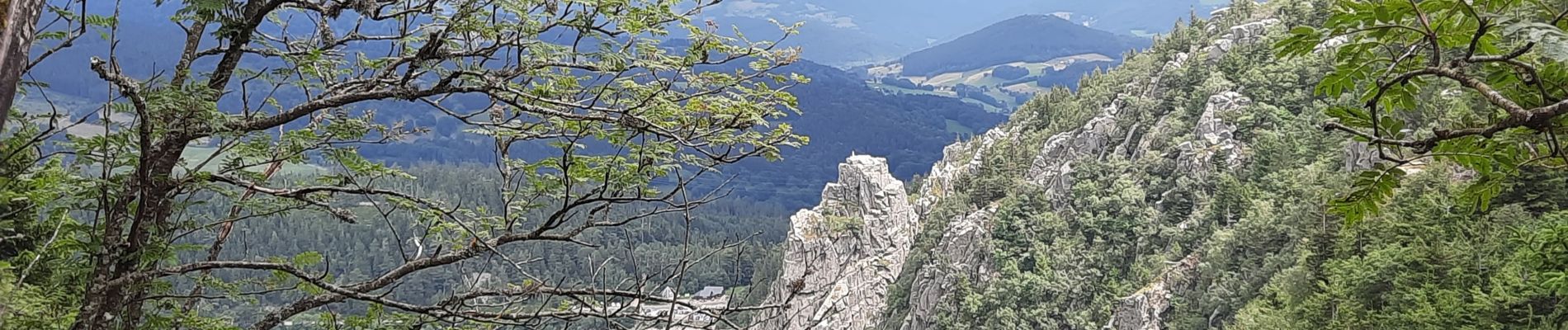
lac noir, rocher Hans, col du calvaires, lac blanc, lac noir


Horseback riding

Horseback riding

Other activity

Walking

Walking

Walking

Walking

Mountain bike

Horseback riding