Trail Walking Tréminis - Boucle et sommet de l'Aup - Photo

Boucle et sommet de l'Aup

© OpenStreetMap contributors
Length
Length
13.6 km
Max alt
Max alt
1757 m
Uphill gradient
Uphill gradient
801 m
Km-Effort
Km-Effort  
24 km
Min alt
Min alt
1049 m
Downhill gradient
Downhill gradient
796 m
Boucle
Boucle
Yes
Creation date :
2024-07-18 06:58:07.189
Updated on :
2024-07-21 14:19:21.732

(0 Reviews)

Walking
Walking
7h05
Difficulty : Very difficult

Scan this QR Code to open this trail in the SityTrail application

FREE GPS app for hiking

Logo SityTrail SityTrail

IGN / Geographical institutes

Download SityTrail from the App Store Download SityTrail from Google Play

Logo SityTrail SityTrail World

The world is yours!

Download SityTrail from the App Store Download SityTrail from Google Play Download SityTrail on Huawei AppGallery

About

Trail Walking of 13.6 km to be discovered at Auvergne-Rhône-Alpes, Isère, Tréminis. This trail is proposed by GuyVachet.

Description

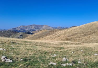
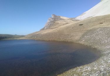
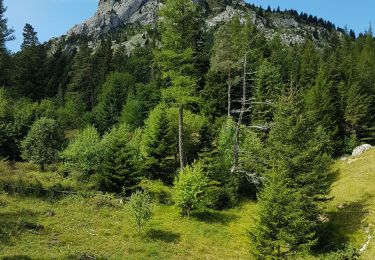
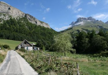
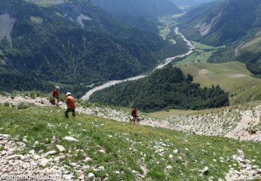
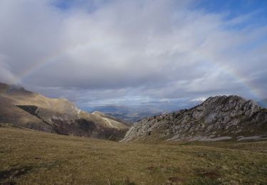
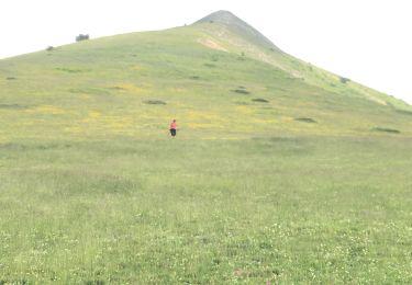
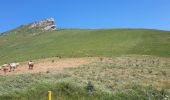
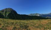
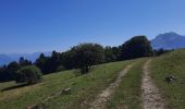
Tour et sommet de ce jumeau du Rognon avec une ascension finale soutenue mais sans aucun rapport aux barres rocheuses de la face Est. Le départ est atteint par une route empierrée un peu chaotique jusqu'au petit pont juste après les ouvrages du torrent (vaste zone dégagée). L'itinéraire est relativement bien marqué commence en forêt jusqu'au Laud où on retrouve l'alpage. Pour atteindre le sommet il faut quitter le sentier et terminer à l'estime. Redescente pour le Col de Fouerous puis celui de Chante où on retrouve la forêt et le point de départ.

Elevation profile

Photos

Positioning

Country:
France
Region :
Auvergne-Rhône-Alpes
Department/Province :
Isère
Municipality :
Tréminis
Location:
Unknown
Start:(UTM)
716312 ; 4956366 (31T) N.

Trails nearby

Trail Walking Lus-la-Croix-Haute - Pointe Feuillette - Photo
Walking
GUIDE
Marco05

Walking

Difficult
Lus-la-Croix-Haute, Auvergne-Rhône-Alpes, Drôme, France
10.5 km | 20 km-effort
4h 36min
Yes
Trail Walking Lus-la-Croix-Haute - Tête de longue plate - Photo
Walking
GUIDE
nadd73

Walking

Difficult
Lus-la-Croix-Haute, Auvergne-Rhône-Alpes, Drôme, France
11 km | 26 km-effort
6h 40min
Yes
Trail Walking Lus-la-Croix-Haute - R48 - Gorges des Amayères - Photo
Walking
GUIDE+

Walking

Easy
Lus-la-Croix-Haute, Auvergne-Rhône-Alpes, Drôme, France
10.3 km | 17.5 km-effort
3h 1min
No
Trail Walking Lus-la-Croix-Haute - R41   le lac de Lauzon - Photo
Walking
GUIDE+

Walking

Difficult
Lus-la-Croix-Haute, Auvergne-Rhône-Alpes, Drôme, France
8.1 km | 18.7 km-effort
3h 40min
Yes
Trail Walking Lus-la-Croix-Haute - R37   Col de la Croix - Photo
Walking
GUIDE+

Walking

Medium
Lus-la-Croix-Haute, Auvergne-Rhône-Alpes, Drôme, France
3.7 km | 7 km-effort
1h 27min
Yes
Trail Walking Lus-la-Croix-Haute - Le Rognon - Photo
Walking
GAPIAN43

Walking

Medium
(1)
Lus-la-Croix-Haute, Auvergne-Rhône-Alpes, Drôme, France
12.3 km | 22 km-effort
4h 33min
Yes
Trail Walking Lalley - Col du Salut via la bergerie du Jocou - Photo
Walking
GuyVachet

Walking

Very difficult
Lalley, Auvergne-Rhône-Alpes, Isère, France
13.1 km | 24 km-effort
5h 31min
No
Trail Walking Lus-la-Croix-Haute - Pointe feuillette  - Photo
Walking
ajd26

Walking

Medium
Lus-la-Croix-Haute, Auvergne-Rhône-Alpes, Drôme, France
11.4 km | 21 km-effort
4h 52min
Yes
Trail Walking Lus-la-Croix-Haute - vallon jarjatte. lac lozon. col la croix - Photo
Walking
Matamimi

Walking

Very difficult
Lus-la-Croix-Haute, Auvergne-Rhône-Alpes, Drôme, France
9 km | 19.9 km-effort
6h 31min
No


Close
My subscriptions