


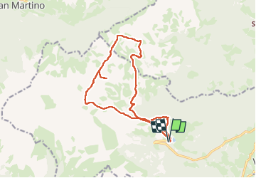


6.5 km | 14.5 km-effort

User


FREE GPS app for hiking
 SityTrail
IGN / Geographical institutes
SityTrail World
The world is yours!
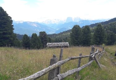
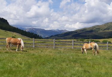
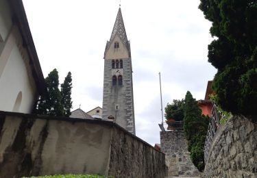
Trail Walking of 15.7 km to be discovered at Trentino-Alto Adige/Südtirol, South Tyrol, Villanders - Villandro. This trail is proposed by VacheKiri67.
Faite le 20/07/2024.
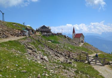
D'après "Wandern in Südtirol : Eisacktal, das Tal der Wege - 88 Zur Stöfflhütte auf der Villanderer Alm". Durée indiquée pour le circuit : 4h30. Parking payant à la Gasserhütte.
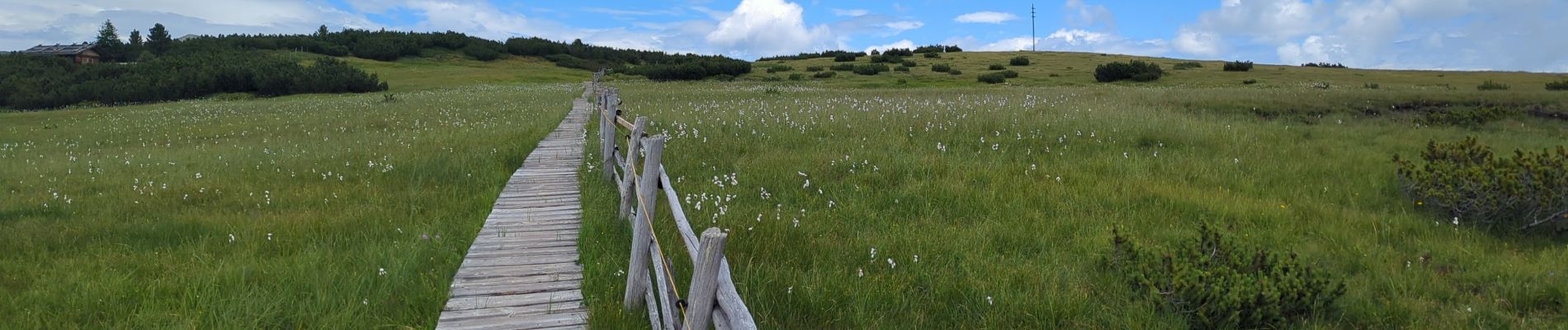
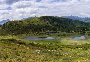
Le sentier 1 traverse des prairies marécageuses ! Il ne faut donc pas quitter le sentier. Parfois il y a des planches, parfois pas. Attendez vous à avoir les pieds mouillés.
Bonnes chaussures indispensables.


51 photos in total. Please click on a photo to see them all in the gallery.
On foot
On foot
On foot
Walking
On foot
On foot
Walking
Walking
Walking