


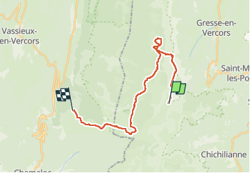

14.3 km | 31 km-effort

User GUIDE


FREE GPS app for hiking
 SityTrail
IGN / Geographical institutes
SityTrail World
The world is yours!
Trail Walking of 26 km to be discovered at Auvergne-Rhône-Alpes, Isère, Gresse-en-Vercors. This trail is proposed by nadd73.
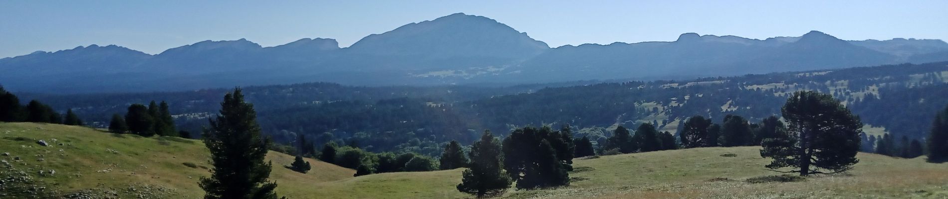
Après le bivouac vers la fontaine de Bachasson je rendosse mon sac pour grimper au sommet du Grand Veymont (pleins de bouquetins pas farouches du tout). Descente Nord, heureusement que j' ai les bâtons, ça facilite la descente avec le poids du sac. Je vais a la fontaine de la Chau où l'eau coule en filet.
Je pose mes affaires pour un petit tour des alentours.
Je répare jusqu'à Pré Peyret. C'est Long mais je n'ai bientôt plus d'eau.
La fontaine des "endettés" coule vraiment faiblement.
Je ne suis pas la seule à me ravitailler en ce précieux élément !
Je Bivouaque sous les pins qui sont les bienvenus par cette chaleur !
Jour 3 :
Retour au parking de beurre.
Avec un petit café au bar, personne très accueillante.


Walking

Walking

Walking

Walking

Walking
Walking

Snowshoes

Walking
Walking