


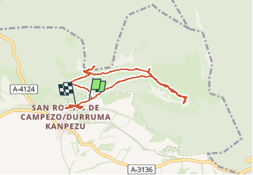

24 km | 29 km-effort

User


FREE GPS app for hiking
 SityTrail
IGN / Geographical institutes
SityTrail World
The world is yours!
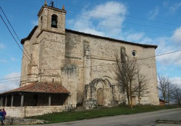
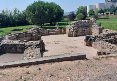
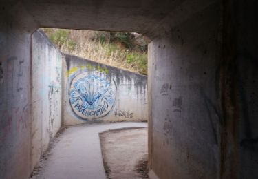
Trail Walking of 4.3 km to be discovered at Autonomous Community of the Basque Country, Álava, Bernedo. This trail is proposed by dchauprade.
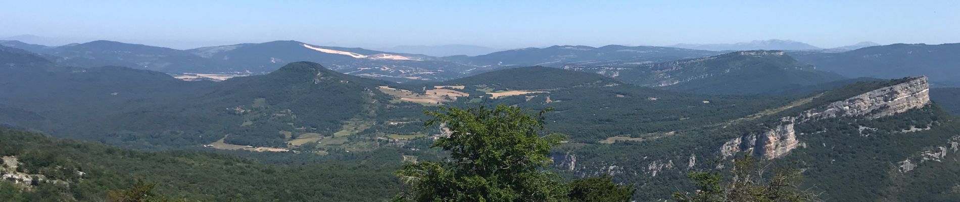
Rando facile, prendre son temps, surtout si les températures sont très élevées
Les chênes prêtent leur ombre etNous avons bien apprécié avec le pique nique devant le sanctuaire


Walking
On foot
On foot

Walking
Walking
Walking
Walking