


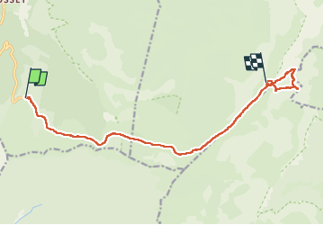

7.6 km | 10.8 km-effort

User GUIDE


FREE GPS app for hiking
 SityTrail
IGN / Geographical institutes
SityTrail World
The world is yours!
Trail Walking of 13.7 km to be discovered at Auvergne-Rhône-Alpes, Drôme, Saint-Agnan-en-Vercors. This trail is proposed by nadd73.
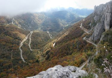
départ au parking en haut du col de Rousset.
Après une montée sur le chemin forestier et au chalet des Ours, on est à découvert. On arrive au Pas des Econdus après une descente de 100m de dénivelé.
Sur le plateau la cabane de Peyret et à nouveau une montée jusqu'à la fontaine de Bachasson.
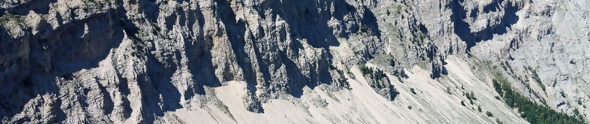
Vue magnifique sur le Grand et Petit Veymont.
A droite j'ai fait une balade pour admirer le Mont Aiguille et finir par le sommet de Peyre rouge.
La source de Bachasson coule bien. Bon il pleut souvent !


Snowshoes

Walking

Walking
Walking

Walking
Walking
Walking

Walking

Walking