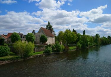
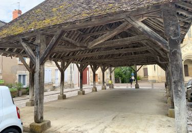
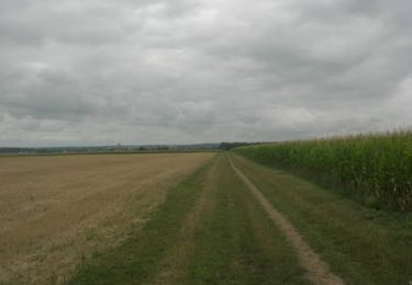
20 km | 24 km-effort
les Ormes - GR48 GR655 Poizay PM - 9.4km 100m 2h05 - 2024 07 18
Orcal37
User GUIDE
Length
9.4 km
Max alt
115 m
Uphill gradient
101 m
Km-Effort
10.7 km
Min alt
46 m
Downhill gradient
100 m
Boucle
Yes
Creation date :
2024-07-18 12:57:46.659
Updated on :
2024-09-13 20:20:13.078
2h05
Difficulty : Easy
FREE GPS app for hiking
About
Trail Walking of 9.4 km to be discovered at New Aquitaine, Vienne, Les Ormes. This trail is proposed by Orcal37.
Description
les Ormes - GR48 GR655 - PR chemins - Poizay - GR655 - 9.4km 100m 2h05 - 2024 07 18
Positioning
Country:
France
Region :
New Aquitaine
Department/Province :
Vienne
Municipality :
Les Ormes
Location:
Unknown
Start:(Dec)
Start:(UTM)
317789 ; 5205035 (31T) N.
Comments
Trails nearby
Port-de-Piles - la Creuse les Ormes GR655 - 20.7km 300m 4h30 (1h) - 2024 09 13
Walking
Medium
Port-de-Piles,
New Aquitaine,
Vienne,
France
4h 30min
Yes
Antogny-le-Tillac - GR48 les Ormes AM - 17.4km 180m 3h50 (45mn) - 2024 07 18
Walking
Easy
Antogny-le-Tillac,
Centre-Loire Valley,
Indre-et-Loire,
France
17.3 km | 19.7 km-effort
3h 50min
Yes
Port-de-Piles - GR655 GR48 Descartes GRP Touraine Sud - 25.6km 180m 5h30 (45m...
Walking
Easy
Port-de-Piles,
New Aquitaine,
Vienne,
France
26 km | 29 km-effort
5h 30min
Yes
Ports-sur-Vienne - GR48 Pussigny Ponçay - 23.4km 410m 5h15 (50mn) - 2024 04 13
Walking
Medium
Ports-sur-Vienne,
Centre-Loire Valley,
Indre-et-Loire,
France
24 km | 29 km-effort
5h 15min
Yes
JFT YB Etape4 30-4-2014
Walking
Very easy
Dangé-Saint-Romain,
New Aquitaine,
Vienne,
France
32 km | 34 km-effort
7h 30min
No
Voie de Tours - 9ème étape :La Celle Saint-Avant - Chatellerault
Walking
Medium
La Celle-Saint-Avant,
Centre-Loire Valley,
Indre-et-Loire,
France
26 km | 28 km-effort
4h 53min
No
Rando VTT La Celle St Avant - Sept 2011
Mountain bike
Medium
La Celle-Saint-Avant,
Centre-Loire Valley,
Indre-et-Loire,
France
28 km | 31 km-effort
1h 40min
Yes
Autour déchèterie
Running
Dangé-Saint-Romain,
New Aquitaine,
Vienne,
France
4.6 km | 5 km-effort
33min
Yes