


90 km | 111 km-effort

User


FREE GPS app for hiking
 SityTrail
IGN / Geographical institutes
SityTrail World
The world is yours!
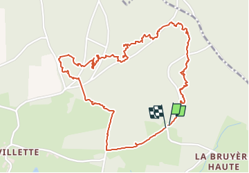
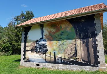
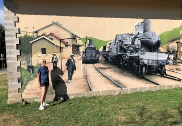
Trail Walking of 3.1 km to be discovered at Auvergne-Rhône-Alpes, Haute-Loire, Dunières. This trail is proposed by denis alloin.
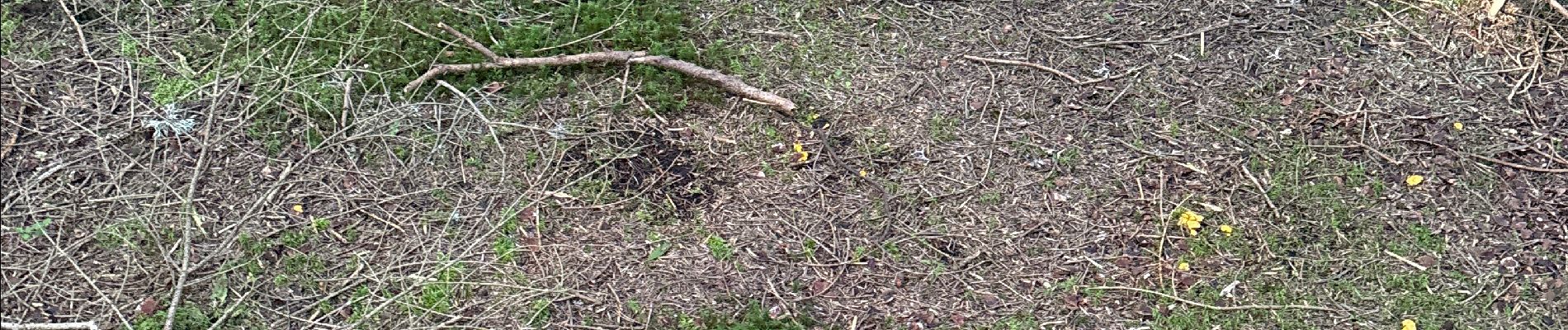
Le19/07/24 pas terrible deux trois bolet rouge et vineuses aucun cep quelques girolles

Road bike

Walking

Mountain bike
Walking
Mountain bike
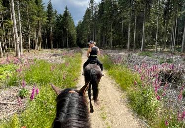
Horseback riding
Mountain bike

Mountain bike

Mountain bike