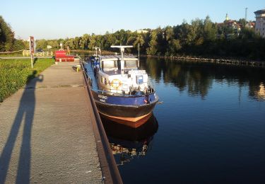
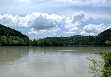
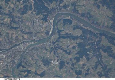
Trail Bicycle tourism Unknown - Descente Danube - Passau - Shlögen - Photo

Descente Danube - Passau - Shlögen

 s0c7
s0c7

User

© OpenStreetMap contributors
Length
Length
46 km
Max alt
Max alt
323 m
Uphill gradient
Uphill gradient
552 m
Km-Effort
Km-Effort  
54 km
Min alt
Min alt
276 m
Downhill gradient
Downhill gradient
583 m
Boucle
Boucle
No
Creation date :
2024-07-17 07:27:07.549
Updated on :
2024-07-17 13:16:56.202

(0 Reviews)

Bicycle tourism
Bicycle tourism
3h32
Difficulty : Very easy

Scan this QR Code to open this trail in the SityTrail application

FREE GPS app for hiking

Logo SityTrail SityTrail

IGN / Geographical institutes

Download SityTrail from the App Store Download SityTrail from Google Play

Logo SityTrail SityTrail World

The world is yours!

Download SityTrail from the App Store Download SityTrail from Google Play Download SityTrail on Huawei AppGallery

About

Trail Bicycle tourism of 46 km to be discovered at Bavaria, Passau. This trail is proposed by s0c7.

Description

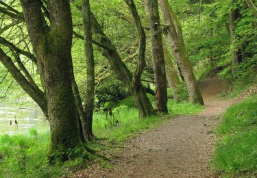
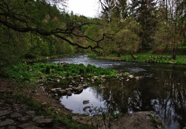
Départ de Passau par la rive gauche. Les 10 premiers km longent une route très passante. La suite du parcours est sur des voies partagées peu passantes.

Elevation profile

Positioning

Country:
Germany
Region :
Bavaria
Department/Province :
Passau
Municipality :
Unknown
Location:
Unknown
Start:(UTM)
385428 ; 5381649 (33U) N.

Trails nearby

Trail On foot Salzweg - Naturlehrpfad Halser Ilzschleifen - Runde 2 - Photo
On foot
GUIDE+

On foot

Easy
Salzweg, Bavaria, Landkreis Passau, Germany
3.3 km | 4.2 km-effort
57min
Yes
Trail On foot Salzweg - Naturlehrpfad Halser Ilzschleifen - Runde 1 - Photo
On foot
GUIDE+

On foot

Easy
Salzweg, Bavaria, Landkreis Passau, Germany
3.2 km | 4.3 km-effort
59min
Yes
Trail On foot  - Halser Ilzschleife - Photo
On foot
GUIDE+

On foot

Easy
, Bavaria, Passau, Germany
4.8 km | 6.2 km-effort
1h 24min
No
Trail On foot  - Ingling - Kohlbruck - Pfenningbach - Photo
On foot
GUIDE+

On foot

Easy
, Bavaria, Passau, Germany
8.1 km | 11.5 km-effort
2h 36min
No
Trail On foot Tiefenbach - Rundweg 4 - Photo
On foot
GUIDE+

On foot

Easy
Tiefenbach, Bavaria, Landkreis Passau, Germany
6.2 km | 8.2 km-effort
1h 51min
Yes
Trail On foot  - Ilzufer - Hacklberg - Photo
On foot
GUIDE+

On foot

Easy
, Bavaria, Passau, Germany
6.1 km | 8.3 km-effort
1h 53min
No
Trail On foot Neuburg am Inn - Untere Innseite - Ingling - Photo
On foot
GUIDE+

On foot

Easy
Neuburg am Inn, Bavaria, Landkreis Passau, Germany
6.2 km | 8.4 km-effort
1h 54min
Yes
Trail On foot  - Kohlbruck Ost Rundweg - Photo
On foot
GUIDE+

On foot

Easy
, Bavaria, Passau, Germany
5.6 km | 7.5 km-effort
1h 41min
Yes
Trail On foot  - Zieglreuther Runde (Passau) - Photo
On foot
GUIDE+

On foot

Easy
, Bavaria, Passau, Germany
3.3 km | 4.2 km-effort
57min
Yes


Close
My subscriptions