


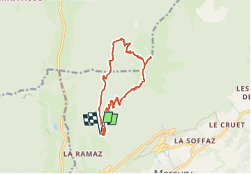

9.6 km | 18.3 km-effort

User


FREE GPS app for hiking
 SityTrail
IGN / Geographical institutes
SityTrail World
The world is yours!
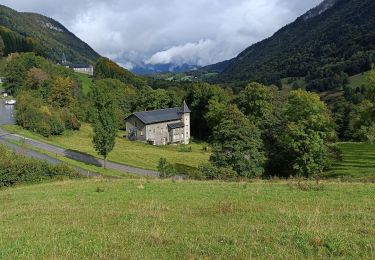
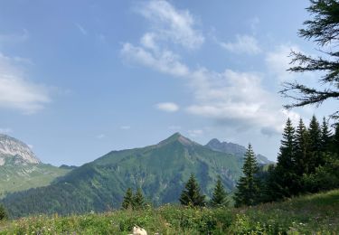
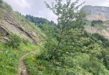
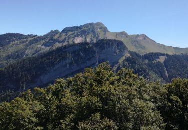
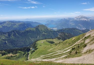
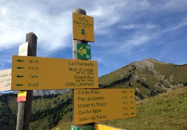
Trail Walking of 8 km to be discovered at Auvergne-Rhône-Alpes, Savoy, Mercury. This trail is proposed by jibebouvier.
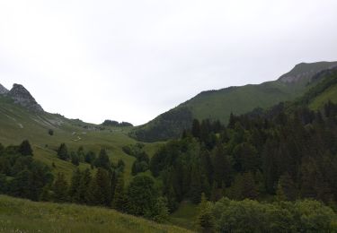
sentier un peu humide et gras, pluie la veille au matin.
le retour, sentier très humide !
ombragé le matin, jusqu'à la sortie sur la crête, parfait lors des grosses chaleurs.
un peu de monde en semaine en vacances.

Walking
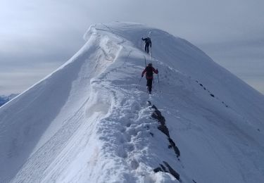
Touring skiing

Motor
Walking
Walking
Walking
Walking
Walking
Walking