


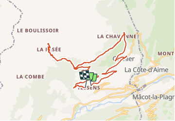

13.9 km | 29 km-effort


User


FREE GPS app for hiking
 SityTrail
IGN / Geographical institutes
SityTrail World
The world is yours!
Trail Mountain bike of 23 km to be discovered at Auvergne-Rhône-Alpes, Savoy, Aime-la-Plagne. This trail is proposed by franquen.
En partant de Tessens, montée jusque la >Pesée et Veman.Puis pour le retour traversée par une piste de terre en balcon, pour rejoindre Granier.
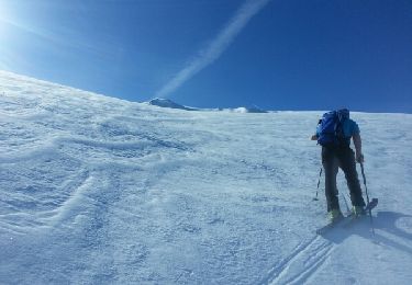
Touring skiing

Touring skiing

Walking

Snowshoes

Walking
Walking
Walking
Other activity

Other activity