


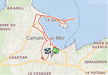

13 km | 16.3 km-effort

User GUIDE


FREE GPS app for hiking
 SityTrail
IGN / Geographical institutes
SityTrail World
The world is yours!
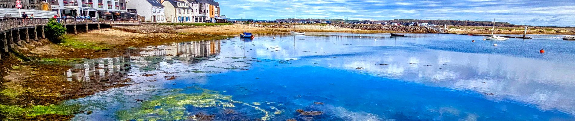
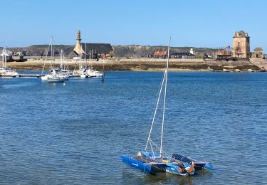
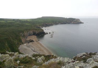
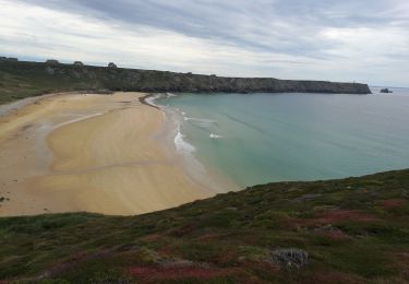
Trail Walking of 5.6 km to be discovered at Brittany, Finistère, Camaret-sur-Mer. This trail is proposed by chessyca.
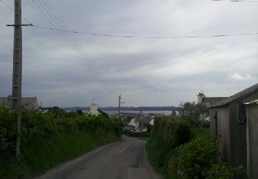
Petite boucle déambulatoire de ce charmant village breton.
L'église et la chapelle valent d'y faire une courte halte
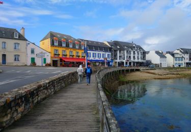
Balade cent pour cent urbaine


Walking
Walking
Walking
Walking

Walking

Walking

Walking
Walking

Walking