


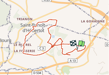


9.7 km | 12.5 km-effort

User GUIDE


FREE GPS app for hiking
 SityTrail
IGN / Geographical institutes
SityTrail World
The world is yours!
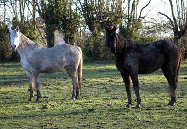
Trail Walking of 10.1 km to be discovered at Normandy, Calvados, Saint-André-d'Hébertot. This trail is proposed by Michel1963.


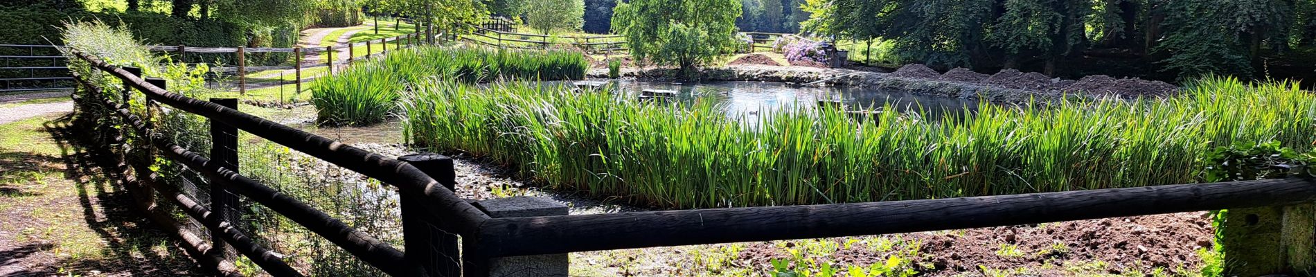
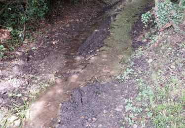
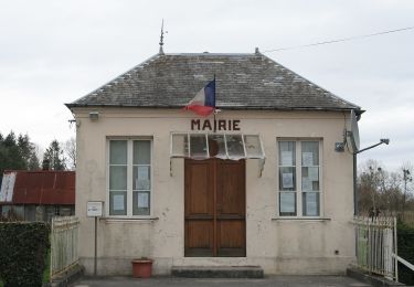
24 photos in total. Please click on a photo to see them all in the gallery.
Walking
On foot
Walking

Walking

Mountain bike

Walking

Mountain bike
Walking
Walking