


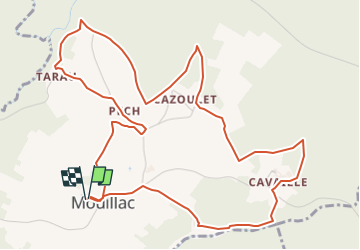

16.7 km | 19 km-effort


User


FREE GPS app for hiking
 SityTrail
IGN / Geographical institutes
SityTrail World
The world is yours!
Trail Walking of 7 km to be discovered at Occitania, Tarn-et-Garonne, Mouillac. This trail is proposed by jcr82160.
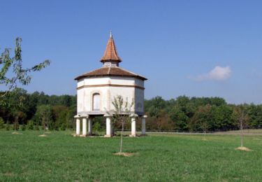
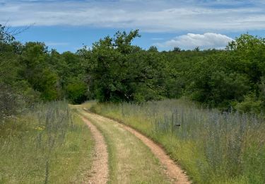
Départ de l'église de Mouillac, le PR1 de Mouillac est balisé jaune par la communauté de communes Quercy Rouergue et George de l’Aveyron. Il n'y a donc aucune difficulté à le suivre. Circuit alternant Balade entre causse et combes, murettes en pierres sèches, sous bois, habitats typiques de la région du Quercy.
Mountain bike

Walking

sport

Other activity

Electric bike
Electric bike
Electric bike
Electric bike
Electric bike