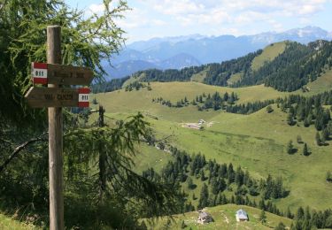
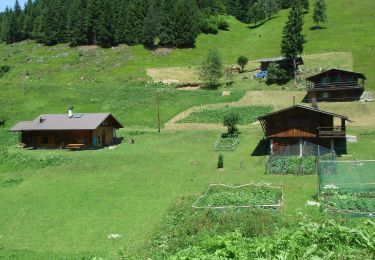
6.6 km | 18.2 km-effort
AV2 Étape 8 Refuge Boz, Refuge Dal Puaz et Croce d Aulne
verpoorten
User
Length
22 km
Max alt
2176 m
Uphill gradient
1306 m
Km-Effort
42 km
Min alt
1019 m
Downhill gradient
2004 m
Boucle
No
Creation date :
2024-07-10 09:50:49.598
Updated on :
2024-07-10 09:59:17.065
9h28
Difficulty : Very difficult
FREE GPS app for hiking
About
Trail Walking of 22 km to be discovered at Veneto, Belluno, Cesiomaggiore. This trail is proposed by verpoorten.
Positioning
Country:
Italy
Region :
Veneto
Department/Province :
Belluno
Municipality :
Cesiomaggiore
Location:
Unknown
Start:(Dec)
Start:(UTM)
725254 ; 5114491 (32T) N.
Comments
Trails nearby
Sentiero C.A.I. 811
On foot
Easy
Cesiomaggiore,
Veneto,
Belluno,
Italy
7.4 km | 13 km-effort
2h 57min
No
IT-E733
On foot
Easy
Mezzano,
Trentino-Alto Adige/Südtirol,
Provincia di Trento,
Italy
8.7 km | 14.4 km-effort
3h 16min
No
IT-E727
On foot
Easy
Mezzano,
Trentino-Alto Adige/Südtirol,
Provincia di Trento,
Italy
6.6 km | 12.9 km-effort
2h 55min
No
IT-E748
On foot
Easy
Mezzano,
Trentino-Alto Adige/Südtirol,
Provincia di Trento,
Italy
7.2 km | 16.5 km-effort
3h 45min
No
IT-E743
On foot
Easy
Primiero San Martino di Castrozza,
Trentino-Alto Adige/Südtirol,
Provincia di Trento,
Italy
3 km | 6.6 km-effort
1h 29min
No
Sentiero C.A.I. 804
On foot
Easy
Cesiomaggiore,
Veneto,
Belluno,
Italy
3.1 km | 7.7 km-effort
1h 44min
No
Sentiero Natura Val Canzoi
On foot
Easy
Cesiomaggiore,
Veneto,
Belluno,
Italy
5.1 km | 8.1 km-effort
1h 51min
No
Sentiero C.A.I. 805
On foot
Easy
Cesiomaggiore,
Veneto,
Belluno,
Italy
6.9 km | 10.6 km-effort
2h 24min
No