![](/images/other/stat-length.png)
![Trail Walking Durbuy - Balade à Villers Sainte Gertrude - Photo](https://media.geolcdn.com/t/1900/400/d960ac1c-7691-4c8d-8db4-8ca891e30d09.jpg&format=pjpeg&maxdim=2)
Balade à Villers Sainte Gertrude
Desrumaux
User GUIDE
![Length](/images/other/stat-length.png)
Length
8.1 km
![Max alt](https://static1.geolcdn.com/siteimages/upload/files/1508320355ic_sort_altitude_max_24dp.png)
Max alt
268 m
![Uphill gradient](https://static1.geolcdn.com/siteimages/upload/files/1508320355ic_sort_den_pos_24dp.png)
Uphill gradient
173 m
![Km-Effort](/images/other/stat-length.png)
Km-Effort
10.4 km
![Min alt](https://static1.geolcdn.com/siteimages/upload/files/1508320355ic_sort_altitude_min_24dp.png)
Min alt
180 m
![Downhill gradient](https://static1.geolcdn.com/siteimages/upload/files/1508320355ic_sort_den_neg_24dp.png)
Downhill gradient
173 m
![Boucle](https://static1.geolcdn.com/siteimages/upload/files/16400158638029165_repeat_loop_refresh_sync_direction_icon.png)
Boucle
Yes
Creation date :
2024-07-09 08:14:30.186
Updated on :
2024-07-12 08:35:25.16
![Walking](https://static1.geolcdn.com/sitytour/trail-icons/101.png)
3h56
Difficulty : Medium
![Scan this QR Code to open this trail in the SityTrail application](https://capi.geolives.com/qq0zvz2zws4bq2lad0pu/sitytour/trails/4116667/qr.png?size=200)
FREE GPS app for hiking
About
Trail Walking of 8.1 km to be discovered at Wallonia, Luxembourg, Durbuy. This trail is proposed by Desrumaux.
Description
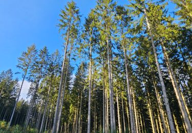
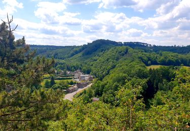
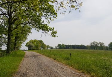
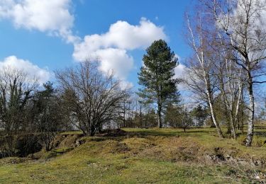
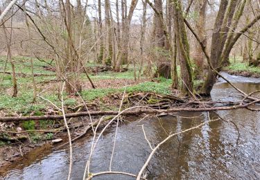
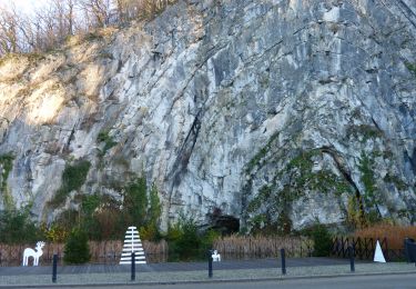
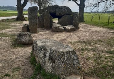
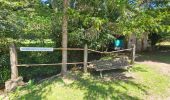
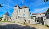
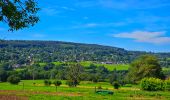
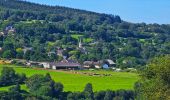
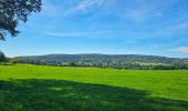
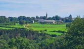
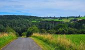
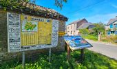
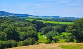
Jolie balade entre Condroz et Ardenne au départ du village de Villers-Sainte-Gertrude vers le village d'Ozo dans l'entité de Durbuy.
Départ église de Villers-Sainte-Gertrude.
Balisage rectangle rouge blanc rouge.
Positioning
Country:
Belgium
Region :
Wallonia
Department/Province :
Luxembourg
Municipality :
Durbuy
Location:
Unknown
Start:(Dec)
Start:(UTM)
683421 ; 5582066 (31U) N.
Comments
Trails nearby
![Trail Walking Érezée - Hoursinne. Natura 2000, des sites qui valent le détour. Lx 1 - Photo](https://media.geolcdn.com/t/375/260/ext.jpg?maxdim=2&url=https%3A%2F%2Fservices.sitytrail.com%2FGeolivesWS%2FDownloadMedia.ashx%3FTrailID%3D142589%26Media%3Df0338fc2-a78f-45f3-92a6-ccf3ccce12cc.JPG)
![Walking Walking](https://static1.geolcdn.com/sitytour/trail-icons/101.png)
Hoursinne. Natura 2000, des sites qui valent le détour. Lx 1
Walking
Difficult
(9)
Érezée,
Wallonia,
Luxembourg,
Belgium
![](/images/other/stat-length.png)
8.1 km | 10.8 km-effort
2h 19min
![](https://static1.geolcdn.com/siteimages/upload/files/16400158638029165_repeat_loop_refresh_sync_direction_icon.png)
Yes
![Trail Walking Durbuy - RF-Lu-01 - De dolmens en menhirs autour de Wéris - Photo](https://media.geolcdn.com/t/375/260/ext.jpg?maxdim=2&url=https%3A%2F%2Fstatic1.geolcdn.com%2Fsiteimages%2Fupload%2Ffiles%2F1553511878bg_sport_marche.png)
![Walking Walking](https://static1.geolcdn.com/sitytour/trail-icons/101.png)
RF-Lu-01 - De dolmens en menhirs autour de Wéris
Walking
Very easy
(7)
Durbuy,
Wallonia,
Luxembourg,
Belgium
![](/images/other/stat-length.png)
12.7 km | 16.5 km-effort
3h 32min
![](https://static1.geolcdn.com/siteimages/upload/files/16400158638029165_repeat_loop_refresh_sync_direction_icon.png)
Yes
![Trail Walking Érezée - 2024-10-14_11h35m13_IntincheraEreze - Photo](https://media.geolcdn.com/t/375/260/cc06b86b-a86f-40a6-b741-b1d0842ad353.jpg&format=jpg&maxdim=2)
![Walking Walking](https://static1.geolcdn.com/sitytour/trail-icons/101.png)
2024-10-14_11h35m13_IntincheraEreze
Walking
Medium
(1)
Érezée,
Wallonia,
Luxembourg,
Belgium
![](/images/other/stat-length.png)
10.6 km | 14.5 km-effort
3h 18min
![](https://static1.geolcdn.com/siteimages/upload/files/16400158638029165_repeat_loop_refresh_sync_direction_icon.png)
Yes
![Trail Walking Durbuy - Balade à Bomal sur Ourthe - Photo](https://media.geolcdn.com/t/375/260/5741dd62-7ff1-40d2-b9aa-0e0aed97da9a.jpg&format=jpg&maxdim=2)
![Walking Walking](https://static1.geolcdn.com/sitytour/trail-icons/101.png)
Balade à Bomal sur Ourthe
Walking
Easy
(4)
Durbuy,
Wallonia,
Luxembourg,
Belgium
![](/images/other/stat-length.png)
4.4 km | 5.9 km-effort
1h 20min
![](https://static1.geolcdn.com/siteimages/upload/files/16400158638029165_repeat_loop_refresh_sync_direction_icon.png)
Yes
![Trail Walking Manhay - 2021-06-30_10h29m50_Cirkwi-BOIS_DE_HARRE_(Commune_de_MANHAY) - Photo](https://media.geolcdn.com/t/375/260/c09deda8-fc97-4a3a-abcd-a27b1902d3a9.jpg&format=jpg&maxdim=2)
![Walking Walking](https://static1.geolcdn.com/sitytour/trail-icons/101.png)
2021-06-30_10h29m50_Cirkwi-BOIS_DE_HARRE_(Commune_de_MANHAY)
Walking
Medium
(1)
Manhay,
Wallonia,
Luxembourg,
Belgium
![](/images/other/stat-length.png)
13.5 km | 18.9 km-effort
4h 17min
![](https://static1.geolcdn.com/siteimages/upload/files/16400158638029165_repeat_loop_refresh_sync_direction_icon.png)
Yes
![Trail Walking Ferrières - GG-Lu-15_Sy - Barvaux - Photo](https://media.geolcdn.com/t/375/260/4cf6fb9a-77d5-4c51-bb72-4b6ca6a27202.jpg&format=jpg&maxdim=2)
![Walking Walking](https://static1.geolcdn.com/sitytour/trail-icons/101.png)
GG-Lu-15_Sy - Barvaux
Walking
Very difficult
(1)
Ferrières,
Wallonia,
Liège,
Belgium
![](/images/other/stat-length.png)
18.9 km | 26 km-effort
5h 58min
![](https://static1.geolcdn.com/siteimages/upload/files/16400158638029165_repeat_loop_refresh_sync_direction_icon.png)
No
![Trail Walking Ferrières - Marche ADEPS BURNONTIGE (Ferrieres) 10/04/33 - Photo](https://media.geolcdn.com/t/375/260/6e9d890b-6b68-45d8-aaec-5de6224210eb.jpg&format=jpg&maxdim=2)
![Walking Walking](https://static1.geolcdn.com/sitytour/trail-icons/101.png)
Marche ADEPS BURNONTIGE (Ferrieres) 10/04/33
Walking
Medium
(1)
Ferrières,
Wallonia,
Liège,
Belgium
![](/images/other/stat-length.png)
15.4 km | 20 km-effort
3h 2min
![](https://static1.geolcdn.com/siteimages/upload/files/16400158638029165_repeat_loop_refresh_sync_direction_icon.png)
Yes
![Walking Walking](https://static1.geolcdn.com/sitytour/trail-icons/101.png)
GG2-Lu-36_Bomal-Marloie (2021-11-04)
Walking
Medium
(2)
Durbuy,
Wallonia,
Luxembourg,
Belgium
![](/images/other/stat-length.png)
43 km | 52 km-effort
11h 51min
![](https://static1.geolcdn.com/siteimages/upload/files/16400158638029165_repeat_loop_refresh_sync_direction_icon.png)
No
![Trail Walking Durbuy - entre le menhir Pire Hena et le dolmen de Weris ... wouai... - Photo](https://media.geolcdn.com/t/375/260/55715ad5-9df7-48ff-88d3-eb1d3370cd88.jpg&format=jpg&maxdim=2)
![Walking Walking](https://static1.geolcdn.com/sitytour/trail-icons/101.png)
entre le menhir Pire Hena et le dolmen de Weris ... wouai...
Walking
Very easy
(2)
Durbuy,
Wallonia,
Luxembourg,
Belgium
![](/images/other/stat-length.png)
6 km | 7.9 km-effort
2h 0min
![](https://static1.geolcdn.com/siteimages/upload/files/16400158638029165_repeat_loop_refresh_sync_direction_icon.png)
Yes