


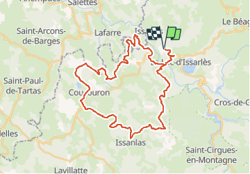

72 km | 91 km-effort


User


FREE GPS app for hiking
 SityTrail
IGN / Geographical institutes
SityTrail World
The world is yours!
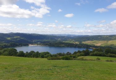
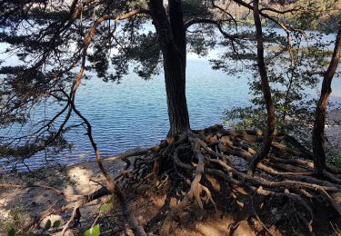
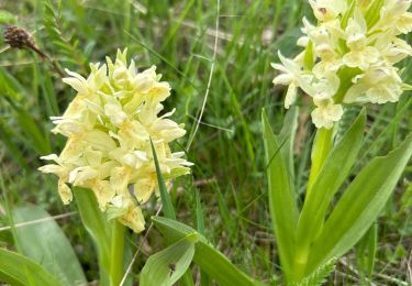
Trail Mountain bike of 42 km to be discovered at Auvergne-Rhône-Alpes, Ardèche, Issarlès. This trail is proposed by jm.lemore.
joli tour appuyé sur un parcours balisé (39). Fait en VTTAE .
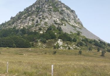
de belles descentes assez techniques.
déconseillé aux débutants.
Road bike
Running
Walking

On foot
Walking
Walking

Mountain bike
Mountain bike

sport