5.3 km | 6.1 km-effort
marx
© OpenStreetMap contributors
Running
31m
Difficulty : Very easy
Length
3.5 km
Max alt
274 m
Uphill gradient
33 m
Km-Effort
4 km
Min alt
244 m
Downhill gradient
32 m
Boucle
Yes
Creation date :
2024-07-08 15:57:12.27
Updated on :
2024-07-08 16:29:12.453
31m
Difficulty : Very easy
FREE GPS app for hiking
About
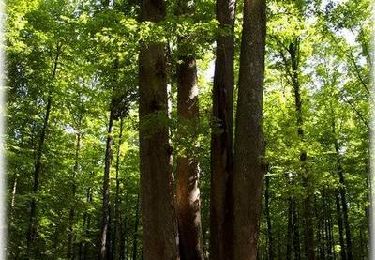
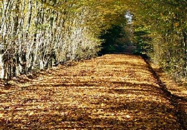
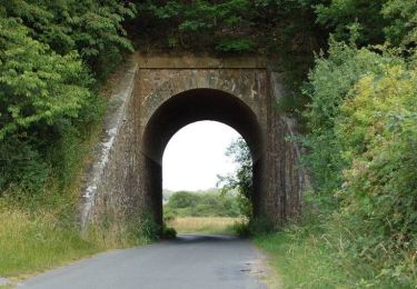
Trail Running of 3.5 km to be discovered at Centre-Loire Valley, Eure-et-Loir, Senonches. This trail is proposed by Laurence LEGRY (Perche Nord Immobilier).
Positioning
Country:
France
Region :
Centre-Loire Valley
Department/Province :
Eure-et-Loir
Municipality :
Senonches
Location:
Unknown
Start:(Dec)
Start:(UTM)
352088 ; 5377352 (31U) N.
Comments
Trails nearby
[Itinéraire] En pays senonchois
On foot
Easy
Senonches,
Centre-Loire Valley,
Eure-et-Loir,
France
1h 22min
Yes
A cheval en forêt de Senonches
Equestrian
Difficult
Senonches,
Centre-Loire Valley,
Eure-et-Loir,
France
24 km | 27 km-effort
4h 0min
Yes
Autour de la forêt (Etape 2) - Senonches
Mountain bike
Medium
Senonches,
Centre-Loire Valley,
Eure-et-Loir,
France
19.5 km | 22 km-effort
2h 0min
No
Autour de la forêt (Etape 2) - Senonches
Walking
Difficult
Senonches,
Centre-Loire Valley,
Eure-et-Loir,
France
19.5 km | 22 km-effort
5h 15min
No
Les ronds de la forêt - Senonches
Mountain bike
Medium
Senonches,
Centre-Loire Valley,
Eure-et-Loir,
France
19 km | 22 km-effort
1h 30min
Yes
Les ronds de la forêt - Senonches
Walking
Difficult
Senonches,
Centre-Loire Valley,
Eure-et-Loir,
France
19 km | 22 km-effort
4h 40min
Yes
Circuit de l'eau - Senonches
Walking
Easy
Senonches,
Centre-Loire Valley,
Eure-et-Loir,
France
6.1 km | 6.9 km-effort
2h 0min
Yes
Circuit nature - Senonches
Walking
Easy
Senonches,
Centre-Loire Valley,
Eure-et-Loir,
France
6.9 km | 8 km-effort
2h 0min
Yes
Forêt et vallée de l'Eure - Fontaine-Simon
Mountain bike
Easy
Fontaine-Simon,
Centre-Loire Valley,
Eure-et-Loir,
France
13.6 km | 15.7 km-effort
1h 15min
Yes