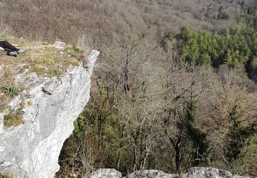
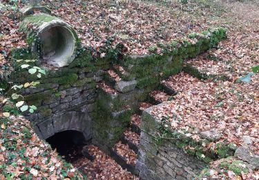
6.9 km | 8 km-effort
Etang d’Anneville
JACQUES DENYS
User
Length
7.6 km
Max alt
266 m
Uphill gradient
84 m
Km-Effort
8.7 km
Min alt
231 m
Downhill gradient
83 m
Boucle
Yes
Creation date :
2024-07-08 07:31:16.0
Updated on :
2024-07-08 19:44:32.613
1h59
Difficulty : Easy
FREE GPS app for hiking
About
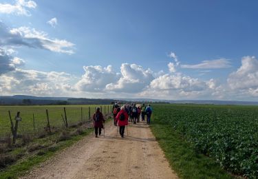
Trail Walking of 7.6 km to be discovered at Grand Est, Haute-Marne, Annéville-la-Prairie. This trail is proposed by JACQUES DENYS.
Positioning
Country:
France
Region :
Grand Est
Department/Province :
Haute-Marne
Municipality :
Annéville-la-Prairie
Location:
Unknown
Start:(Dec)
Start:(UTM)
656349 ; 5340572 (31U) N.
Comments
Trails nearby
circuit de la Roche Bernard
Walking
Medium
Viéville,
Grand Est,
Haute-Marne,
France
12.7 km | 15.9 km-effort
3h 42min
Yes
Ecot
Road bike
Very difficult
(1)
Bologne,
Grand Est,
Haute-Marne,
France
56 km | 66 km-effort
3h 50min
Yes
Vieville
Walking
Easy
Viéville,
Grand Est,
Haute-Marne,
France
12.2 km | 15.3 km-effort
2h 49min
Yes
source de Méchineix
Mountain bike
Medium
Bologne,
Grand Est,
Haute-Marne,
France
40 km | 46 km-effort
3h 58min
Yes
Rando Meures Sexf.Calvez
Walking
Easy
Meures,
Grand Est,
Haute-Marne,
France
11 km | 13.4 km-effort
3h 1min
Yes
Ecot la Combe bologne
Road bike
Very easy
Bologne,
Grand Est,
Haute-Marne,
France
50 km | 60 km-effort
3h 21min
No
Viéville. 52
Walking
Medium
Viéville,
Grand Est,
Haute-Marne,
France
9 km | 11.4 km-effort
1h 55min
Yes