Trail Walking Saint-Andéol-de-Fourchades - Boucle de la ferme de Bourdalier à Sagnes-et-Gourdoulet - Photo

Boucle de la ferme de Bourdalier à Sagnes-et-Gourdoulet

 ilur56
ilur56

User

© OpenStreetMap contributors
Length
Length
11.7 km
Max alt
Max alt
1443 m
Uphill gradient
Uphill gradient
306 m
Km-Effort
Km-Effort  
15.8 km
Min alt
Min alt
1216 m
Downhill gradient
Downhill gradient
307 m
Boucle
Boucle
Yes
Creation date :
2024-07-07 09:56:06.913
Updated on :
2024-07-11 19:09:01.72

(0 Reviews)

Walking
Walking
3h35
Difficulty : Medium

Scan this QR Code to open this trail in the SityTrail application

FREE GPS app for hiking

Logo SityTrail SityTrail

IGN / Geographical institutes

Download SityTrail from the App Store Download SityTrail from Google Play

Logo SityTrail SityTrail World

The world is yours!

Download SityTrail from the App Store Download SityTrail from Google Play Download SityTrail on Huawei AppGallery

About

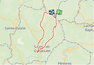
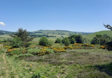
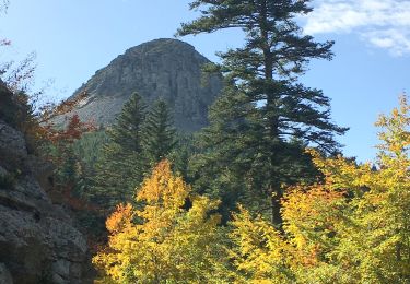
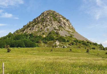
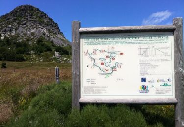
Trail Walking of 11.7 km to be discovered at Auvergne-Rhône-Alpes, Ardèche, Saint-Andéol-de-Fourchades. This trail is proposed by ilur56.

Description

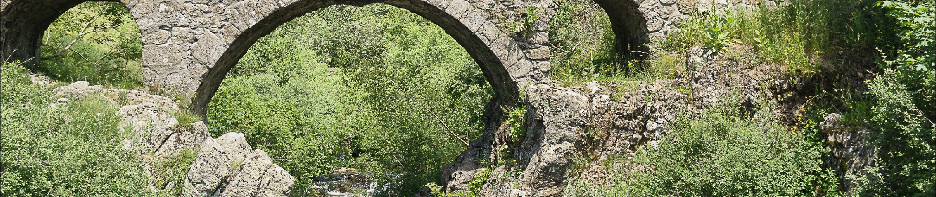
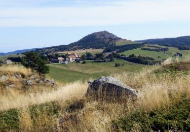
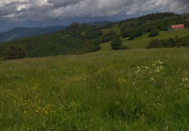
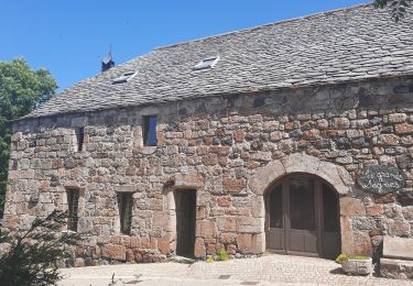
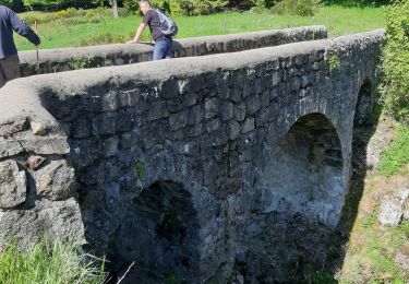
Randonnée en boucle au départ de la ferme de Bourdalier (visite indispensable) jusqu'au village de Sagnes-et-Gourdoulet;  Possibilité de pique-niquer au bord du ruisseau en dessous du village.  Passage devant la tour à eau.

Elevation profile

Photos

Positioning

Country:
France
Region :
Auvergne-Rhône-Alpes
Department/Province :
Ardèche
Municipality :
Saint-Andéol-de-Fourchades
Location:
Unknown
Start:(UTM)
598271 ; 4963575 (31T) N.

Trails nearby

Trail Walking Péreyres - Pereyres Lachamp 16km - Photo
Walking
GUIDE
thonyc

Walking

Medium
Péreyres, Auvergne-Rhône-Alpes, Ardèche, France
16.1 km | 24 km-effort
5h 32min
Yes
Trail Walking Lachamp-Raphaël - 07 lachamp Raphaël orga 10.06.23 - Photo
Walking
GUIDE
randodyssée

Walking

Medium
Lachamp-Raphaël, Auvergne-Rhône-Alpes, Ardèche, France
18 km | 27 km-effort
5h 39min
No
Trail Walking Sagnes-et-Goudoulet - Les Coux-Sagnes-Tour à Eau 14km - Photo
Walking
GUIDE
thonyc

Walking

Medium
Sagnes-et-Goudoulet, Auvergne-Rhône-Alpes, Ardèche, France
14.1 km | 19.4 km-effort
5h 42min
Yes
Trail Walking Lachamp-Raphaël - Lachamp-Raphaël :  les sucs - Photo
Walking
bernadette revoux

Walking

Medium
Lachamp-Raphaël, Auvergne-Rhône-Alpes, Ardèche, France
23 km | 31 km-effort
5h 18min
Yes
Trail Walking Sainte-Eulalie - balade Gerbier de joncs - Photo
Walking
raab

Walking

Easy
(1)
Sainte-Eulalie, Auvergne-Rhône-Alpes, Ardèche, France
8.1 km | 10 km-effort
2h 8min
Yes
Trail Walking Sainte-Eulalie - Gerbier de jonc - Photo
Walking
philoustetou

Walking

Medium
Sainte-Eulalie, Auvergne-Rhône-Alpes, Ardèche, France
16.7 km | 24 km-effort
3h 59min
Yes
Trail Equestrian Sainte-Eulalie - Boucle Le Bouteirou - Mont Gerbier de Jonc - Etape 2 - Photo
Equestrian
tracegps

Equestrian

Medium
Sainte-Eulalie, Auvergne-Rhône-Alpes, Ardèche, France
25 km | 32 km-effort
4h 0min
No
Trail Mountain bike Sainte-Eulalie - Boucle Le Bouteirou - Mont Gerbier de Jonc - Etape 2 - Photo
Mountain bike
tracegps

Mountain bike

Medium
Sainte-Eulalie, Auvergne-Rhône-Alpes, Ardèche, France
25 km | 32 km-effort
2h 30min
No
Trail Walking Sainte-Eulalie - Boucle Le Bouteirou - Mont Gerbier de Jonc - Etape 2 - Photo
Walking
tracegps

Walking

Medium
(1)
Sainte-Eulalie, Auvergne-Rhône-Alpes, Ardèche, France
25 km | 32 km-effort
5h 30min
No


Close
My subscriptions