


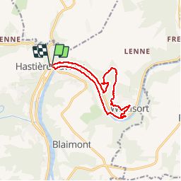


10.8 km | 13.8 km-effort


User


FREE GPS app for hiking
 SityTrail
IGN / Geographical institutes
SityTrail World
The world is yours!
Trail Walking of 11.4 km to be discovered at Wallonia, Namur, Hastière. This trail is proposed by GerardBouche.
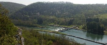
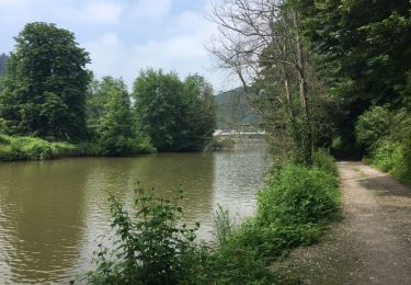
De l'église St-Nicolas par la rive droite de Meuse puis passage sur l'autre rive par l'écluse et rejoindre Waulsort. Un petit sentier très agréable vous emmène sur les hauteurs à la découverte d'un magnifique point de vue sur la vallée et le Camp Romain.De là, descendre vers la rive gauche de Meuse et suivre un superbe sentier longeant l'ancienne ligne du rail reliant Dinant à Givet.


Walking

Walking

Walking

Walking

Walking

Walking

Walking
Walking
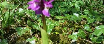
Joli parcours!