


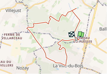

15.5 km | 19.1 km-effort


User


FREE GPS app for hiking
 SityTrail
IGN / Geographical institutes
SityTrail World
The world is yours!
Trail Walking of 10 km to be discovered at Ile-de-France, Essonne, Saulx-les-Chartreux. This trail is proposed by Lucquiaud.
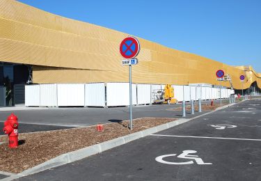
départ et retour au parking du Centre Commercial Carrefour
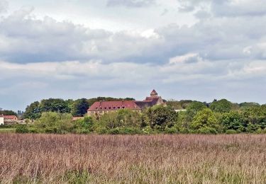
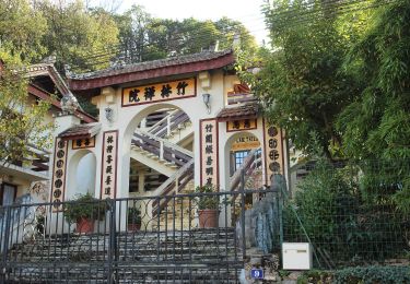
passage par la maison d'Ambroise Paré (face à l'église de la Ville du Bois)
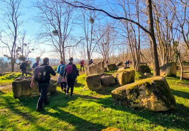
passage par le Rocher de SAULX
Passage par la stèle du crash de l'avion brésilien
Walking

Walking
Walking
Walking
Walking

Walking
On foot

On foot