


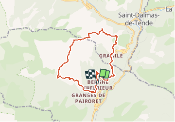

13.9 km | 27 km-effort

User


FREE GPS app for hiking
 SityTrail
IGN / Geographical institutes
SityTrail World
The world is yours!
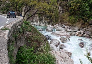
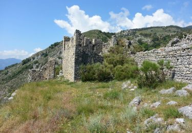
Trail Walking of 17.6 km to be discovered at Provence-Alpes-Côte d'Azur, Maritime Alps, Fontan. This trail is proposed by SabetMick.
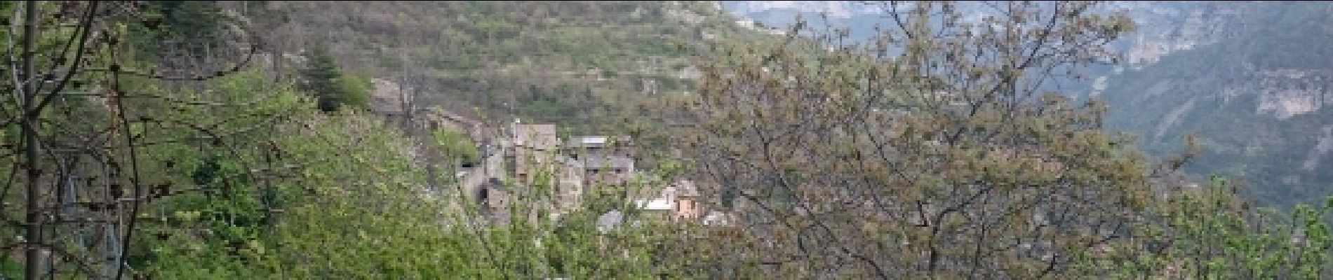
découverte de superbes petits villages de montagne, passages très méditerranéen, passages dans les forêts de mélèzes. Longue ballade


On foot

On foot
On foot
On foot
On foot

On foot

Walking
Walking

Walking