![](/images/other/stat-length.png)
![Trail Walking Holsbeek - S-GR Hageland: Kortrijk-Dutsel - Leuven - Photo](https://media.geolcdn.com/t/1900/400/9d08c654-3fac-40b4-b761-62f7b336ca4d.jpeg&format=pjpeg&maxdim=2)
S-GR Hageland: Kortrijk-Dutsel - Leuven
dauzata
User
![Length](/images/other/stat-length.png)
Length
24 km
![Max alt](https://static1.geolcdn.com/siteimages/upload/files/1508320355ic_sort_altitude_max_24dp.png)
Max alt
100 m
![Uphill gradient](https://static1.geolcdn.com/siteimages/upload/files/1508320355ic_sort_den_pos_24dp.png)
Uphill gradient
328 m
![Km-Effort](/images/other/stat-length.png)
Km-Effort
28 km
![Min alt](https://static1.geolcdn.com/siteimages/upload/files/1508320355ic_sort_altitude_min_24dp.png)
Min alt
17 m
![Downhill gradient](https://static1.geolcdn.com/siteimages/upload/files/1508320355ic_sort_den_neg_24dp.png)
Downhill gradient
334 m
![Boucle](https://static1.geolcdn.com/siteimages/upload/files/16400158638029165_repeat_loop_refresh_sync_direction_icon.png)
Boucle
No
Creation date :
2024-07-06 09:57:53.0
Updated on :
2024-07-13 19:09:30.152
![Walking](https://static1.geolcdn.com/sitytour/trail-icons/101.png)
6h21
Difficulty : Medium
![Scan this QR Code to open this trail in the SityTrail application](https://capi.geolives.com/qq0zvz2zws4bq2lad0pu/sitytour/trails/4113674/qr.png?size=200)
FREE GPS app for hiking
About
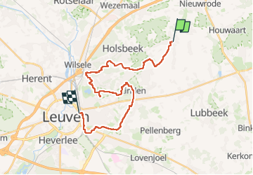
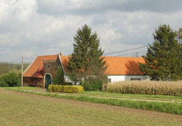
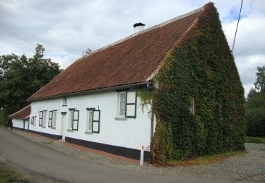
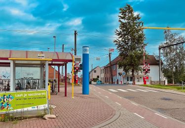
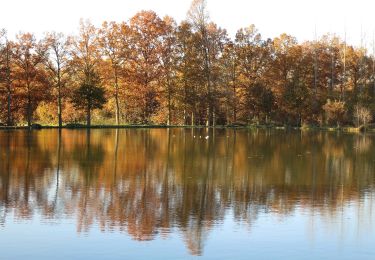
Trail Walking of 24 km to be discovered at Flanders, Flemish Brabant, Holsbeek. This trail is proposed by dauzata.
Description
Départ: Arrêt de Bus "Kortrijk-Dutsel Gemeentehuis" de la Ligne 310 (Leuven Gare - Aarschot Gare)
Arrivée: Gare de Leuven
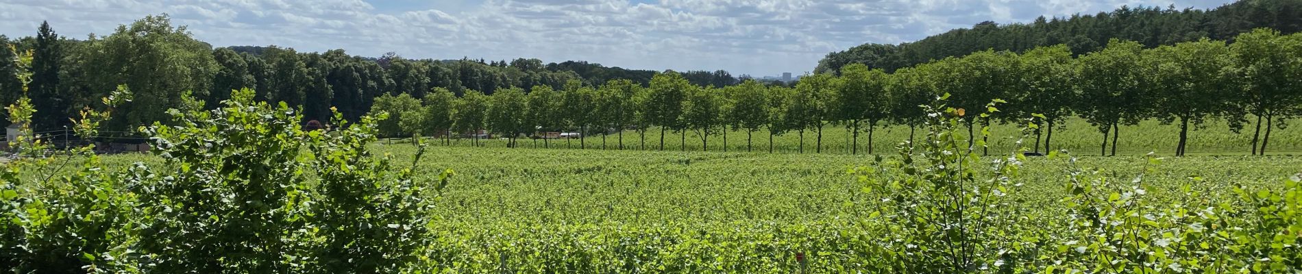
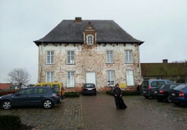
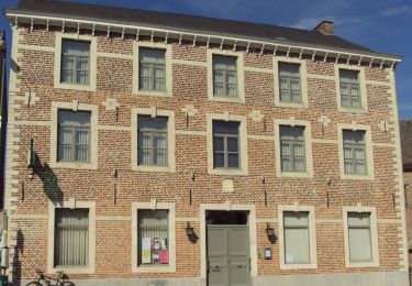
Positioning
Country:
Belgium
Region :
Flanders
Department/Province :
Flemish Brabant
Municipality :
Holsbeek
Location:
Unknown
Start:(Dec)
Start:(UTM)
626986 ; 5643106 (31U) N.
Comments
Trails nearby
![Trail Walking Holsbeek - Korttijk Dutsel - Photo](https://media.geolcdn.com/t/375/260/ext.jpg?maxdim=2&url=https%3A%2F%2Fservices.sitytrail.com%2FGeolivesWS%2FDownloadMedia.ashx%3FTrailID%3D167947%26Media%3D20121230101424.jpeg)
![Walking Walking](https://static1.geolcdn.com/sitytour/trail-icons/101.png)
Korttijk Dutsel
Walking
Easy
(1)
Holsbeek,
Flanders,
Flemish Brabant,
Belgium
![](/images/other/stat-length.png)
7.7 km | 8.8 km-effort
1h 45min
![](https://static1.geolcdn.com/siteimages/upload/files/16400158638029165_repeat_loop_refresh_sync_direction_icon.png)
Yes
![Trail On foot Lubbeek - Werveldtwandelpad - Photo](https://media.geolcdn.com/t/375/260/ded3d43f-7a42-4b37-9a96-cc33917bc035.jpeg&format=jpg&maxdim=2)
![On foot On foot](https://static1.geolcdn.com/sitytour/trail-icons/100.png)
Werveldtwandelpad
On foot
Easy
Lubbeek,
Flanders,
Flemish Brabant,
Belgium
![](/images/other/stat-length.png)
9.4 km | 10.7 km-effort
2h 25min
![](https://static1.geolcdn.com/siteimages/upload/files/16400158638029165_repeat_loop_refresh_sync_direction_icon.png)
Yes
![Trail On foot Holsbeek - Hagelandse Vallei Rode driehoek - Photo](https://media.geolcdn.com/t/375/260/97bc77ac-1b06-4197-96ed-16097cd5c611.jpeg&format=jpg&maxdim=2)
![On foot On foot](https://static1.geolcdn.com/sitytour/trail-icons/100.png)
Hagelandse Vallei Rode driehoek
On foot
Easy
Holsbeek,
Flanders,
Flemish Brabant,
Belgium
![](/images/other/stat-length.png)
9.9 km | 11.5 km-effort
2h 36min
![](https://static1.geolcdn.com/siteimages/upload/files/16400158638029165_repeat_loop_refresh_sync_direction_icon.png)
Yes
![Trail On foot Holsbeek - Hagelandse Vallei Oranje bol - Photo](https://media.geolcdn.com/t/375/260/584f6b47-ae61-4a88-a68d-8ff488d96db6.jpeg&format=jpg&maxdim=2)
![On foot On foot](https://static1.geolcdn.com/sitytour/trail-icons/100.png)
Hagelandse Vallei Oranje bol
On foot
Easy
Holsbeek,
Flanders,
Flemish Brabant,
Belgium
![](/images/other/stat-length.png)
5.5 km | 6 km-effort
1h 21min
![](https://static1.geolcdn.com/siteimages/upload/files/16400158638029165_repeat_loop_refresh_sync_direction_icon.png)
Yes
![Trail On foot Holsbeek - Hagelandse Vallei Blauwe ruit - Photo](https://media.geolcdn.com/t/375/260/584f6b47-ae61-4a88-a68d-8ff488d96db6.jpeg&format=jpg&maxdim=2)
![On foot On foot](https://static1.geolcdn.com/sitytour/trail-icons/100.png)
Hagelandse Vallei Blauwe ruit
On foot
Easy
Holsbeek,
Flanders,
Flemish Brabant,
Belgium
![](/images/other/stat-length.png)
7.1 km | 7.7 km-effort
1h 45min
![](https://static1.geolcdn.com/siteimages/upload/files/16400158638029165_repeat_loop_refresh_sync_direction_icon.png)
Yes
![Trail On foot Rotselaar - Wijndorpwandeling - Photo](https://media.geolcdn.com/t/375/260/1ee5bc07-9338-4893-bd63-0426a68cd35b.jpeg&format=jpg&maxdim=2)
![On foot On foot](https://static1.geolcdn.com/sitytour/trail-icons/100.png)
Wijndorpwandeling
On foot
Easy
Rotselaar,
Flanders,
Flemish Brabant,
Belgium
![](/images/other/stat-length.png)
10.6 km | 11.7 km-effort
2h 40min
![](https://static1.geolcdn.com/siteimages/upload/files/16400158638029165_repeat_loop_refresh_sync_direction_icon.png)
Yes
![Trail On foot Holsbeek - Wingewandeling - Photo](https://media.geolcdn.com/t/375/260/ef81006a-abe0-42fd-889a-48565cc240bc.jpeg&format=jpg&maxdim=2)
![On foot On foot](https://static1.geolcdn.com/sitytour/trail-icons/100.png)
Wingewandeling
On foot
Easy
Holsbeek,
Flanders,
Flemish Brabant,
Belgium
![](/images/other/stat-length.png)
3.3 km | 3.6 km-effort
48min
![](https://static1.geolcdn.com/siteimages/upload/files/16400158638029165_repeat_loop_refresh_sync_direction_icon.png)
Yes
![Trail On foot Holsbeek - Peersewandeling - Photo](https://media.geolcdn.com/t/375/260/ef81006a-abe0-42fd-889a-48565cc240bc.jpeg&format=jpg&maxdim=2)
![On foot On foot](https://static1.geolcdn.com/sitytour/trail-icons/100.png)
Peersewandeling
On foot
Easy
Holsbeek,
Flanders,
Flemish Brabant,
Belgium
![](/images/other/stat-length.png)
3.4 km | 3.9 km-effort
52min
![](https://static1.geolcdn.com/siteimages/upload/files/16400158638029165_repeat_loop_refresh_sync_direction_icon.png)
Yes
![Trail On foot Holsbeek - Domeinwandeling - Photo](https://media.geolcdn.com/t/375/260/ef81006a-abe0-42fd-889a-48565cc240bc.jpeg&format=jpg&maxdim=2)
![On foot On foot](https://static1.geolcdn.com/sitytour/trail-icons/100.png)
Domeinwandeling
On foot
Easy
Holsbeek,
Flanders,
Flemish Brabant,
Belgium
![](/images/other/stat-length.png)
3.2 km | 3.5 km-effort
47min
![](https://static1.geolcdn.com/siteimages/upload/files/16400158638029165_repeat_loop_refresh_sync_direction_icon.png)
Yes