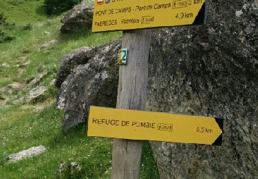
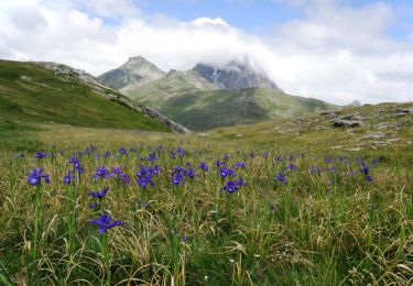
10.6 km | 19.3 km-effort
Col peyrelue
jorando1951
User
Length
8.6 km
Max alt
1847 m
Uphill gradient
536 m
Km-Effort
15 km
Min alt
1347 m
Downhill gradient
339 m
Boucle
No
Creation date :
2024-07-05 07:39:55.0
Updated on :
2024-07-05 19:27:27.996
5h18
Difficulty : Medium
FREE GPS app for hiking
About
Trail Walking of 8.6 km to be discovered at New Aquitaine, Pyrénées-Atlantiques, Laruns. This trail is proposed by jorando1951 .
Positioning
Country:
France
Region :
New Aquitaine
Department/Province :
Pyrénées-Atlantiques
Municipality :
Laruns
Location:
Unknown
Start:(Dec)
Start:(UTM)
713794 ; 4745895 (30T) N.
Comments
Trails nearby
Pic de Canaourouye et Pic d'Anéou
Walking
Difficult
(1)
Laruns,
New Aquitaine,
Pyrénées-Atlantiques,
France
3h 30min
Yes
Lac de barége
Walking
Easy
Laruns,
New Aquitaine,
Pyrénées-Atlantiques,
France
12.6 km | 19.1 km-effort
1h 53min
No
Lac d’Arrious - Petit Arriel - Col de Sobe_Octobre 2022
Walking
Very difficult
Laruns,
New Aquitaine,
Pyrénées-Atlantiques,
France
14.1 km | 31 km-effort
7h 24min
Yes
Pic de Balaïtous depuis le caillou de Soques a/r
Walking
Very difficult
Laruns,
New Aquitaine,
Pyrénées-Atlantiques,
France
24 km | 56 km-effort
15h 0min
Yes
Wikiloc - CABANE DE SOQUE REFUGE D'ARREMOULIT VIA LE PASSAGE D'ORTEIG 23 JUIL...
On foot
Very difficult
Laruns,
New Aquitaine,
Pyrénées-Atlantiques,
France
15 km | 31 km-effort
Unknown
Yes
cabane de Cherue
Snowshoes
Medium
Laruns,
New Aquitaine,
Pyrénées-Atlantiques,
France
6 km | 13.3 km-effort
4h 4min
Yes
Lac de Pombie
Walking
Easy
Laruns,
New Aquitaine,
Pyrénées-Atlantiques,
France
11.4 km | 21 km-effort
4h 22min
Yes
Le Tour du Peyreget - Gabas
Walking
Difficult
Laruns,
New Aquitaine,
Pyrénées-Atlantiques,
France
10.3 km | 20 km-effort
6h 0min
Yes
Pic d'Estrémère (2165m) par le port de Peyrelue
Walking
Difficult
Laruns,
New Aquitaine,
Pyrénées-Atlantiques,
France
8.2 km | 16.1 km-effort
3h 30min
Yes