


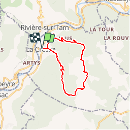

9.9 km | 15.2 km-effort


User


FREE GPS app for hiking
 SityTrail
IGN / Geographical institutes
SityTrail World
The world is yours!
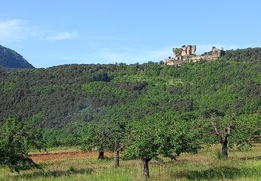
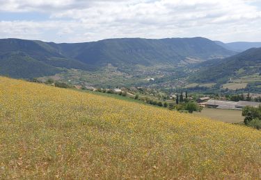
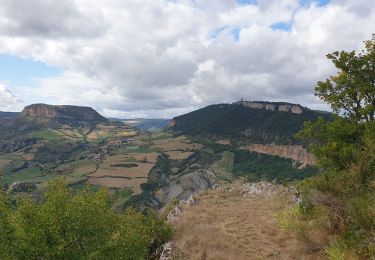
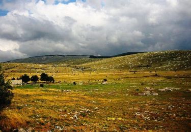
Trail Running of 11.7 km to be discovered at Occitania, Aveyron, La Cresse. This trail is proposed by gbarrabe.
Parcours 6 - La Cresse - Le Causse Noir / millauespacetrail.com

Walking
Walking
Walking
Walking
Trail
Walking
Walking
Mountain bike
Mountain bike