

GPS DRAWING - Rando Logo Rcy

chessyca
User GUIDE

Length
27 km

Max alt
82 m

Uphill gradient
359 m

Km-Effort
32 km

Min alt
24 m

Downhill gradient
369 m
Boucle
Yes
Creation date :
2024-07-03 07:11:04.296
Updated on :
2024-07-03 17:39:31.5
7h18
Difficulty : Very difficult

FREE GPS app for hiking
About
Trail Walking of 27 km to be discovered at Ile-de-France, Paris, Paris. This trail is proposed by chessyca.
Description
Pour une fois bien plus facile à tracer qu'à faire étant donné les contraintes actuelles de Paris ( bcp de lieux interdits en raison des Jo).
Toutefois de très beaux quartiers à visiter. Un vrai plaisir même lorsqu'on connait Paris
Positioning
Country:
France
Region :
Ile-de-France
Department/Province :
Paris
Municipality :
Paris
Location:
8th Arrondissement of Paris
Start:(Dec)
Start:(UTM)
449437 ; 5413091 (31U) N.
Comments
Trails nearby

Balade parisienne le 28 février


Walking
Very easy
(1)
Paris,
Ile-de-France,
Paris,
France

23 km | 27 km-effort
5h 39min
No

SityTrail - 008.2 - Paris - de place Blanche aux Halles


Walking
Medium
(1)
Paris,
Ile-de-France,
Paris,
France

9.5 km | 11.2 km-effort
2h 32min
No

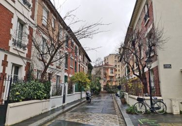
DP75-16 De Chevaleret à Tolbiac


Walking
Easy
(1)
Paris,
Ile-de-France,
Paris,
France

4.3 km | 5.1 km-effort
1h 8min
No
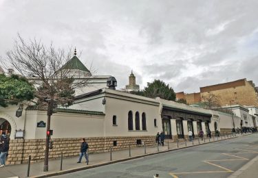
DP75-15 Du square Saint-Médard à Chevaleret


Walking
Easy
(1)
Paris,
Ile-de-France,
Paris,
France

3.3 km | 4 km-effort
54min
No
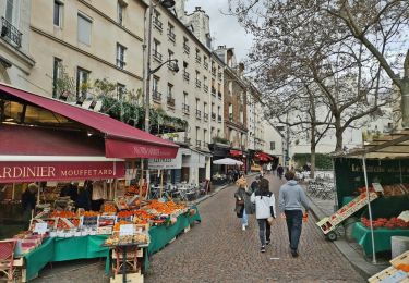
DP75-14 De Sèvres-Babylone au square Saint-Médard


Walking
Easy
(1)
Paris,
Ile-de-France,
Paris,
France

5 km | 5.8 km-effort
1h 18min
No
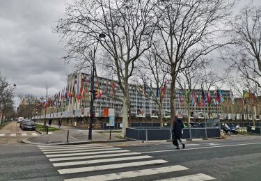
DP75-13 De Vaugirard à Sèvres-Babylone


Walking
Easy
(1)
Paris,
Ile-de-France,
Paris,
France

4.4 km | 5 km-effort
1h 8min
No
DP75-11 De Boulainvilliers à pont du Garigliano


Walking
Easy
(1)
Paris,
Ile-de-France,
Paris,
France

4.7 km | 5.4 km-effort
1h 13min
No
DP75-10 De Invalides à Boulainvilliers


Walking
Very easy
(1)
Paris,
Ile-de-France,
Paris,
France

5.5 km | 7.1 km-effort
1h 36min
No


 SityTrail


