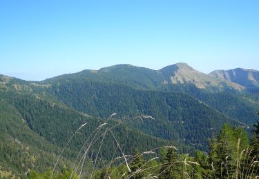
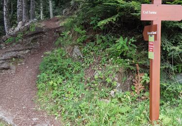
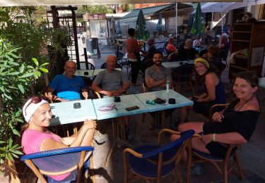
Trail Walking La Bollène-Vésubie - Pont de l'Oula  - Photo
© OpenStreetMap contributors
Length
Length
1 km
Uphill gradient
Uphill gradient
88 m
Km-Effort
Km-Effort  
2.2 km
Downhill gradient
Downhill gradient
100 m
Boucle
Boucle
Yes
Creation date :
2018-09-16 13:50:29.511
Updated on :
2018-09-16 13:50:29.88

(0 Reviews)

Walking
Walking
13m
Difficulty : Easy

Scan this QR Code to open this trail in the SityTrail application

FREE GPS app for hiking

Logo SityTrail SityTrail

IGN / Geographical institutes

Download SityTrail from the App Store Download SityTrail from Google Play

Logo SityTrail SityTrail World

The world is yours!

Download SityTrail from the App Store Download SityTrail from Google Play Download SityTrail on Huawei AppGallery

About

Trail Walking of 1 km to be discovered at Provence-Alpes-Côte d'Azur, Maritime Alps, La Bollène-Vésubie. This trail is proposed by SabetMick.

Description

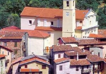
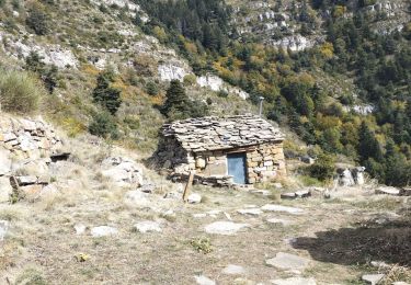
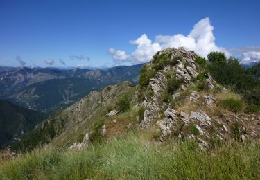
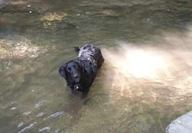
petite pose sympathique pour piquer une tête dans une des cuvettes naturelles sous le pont

Elevation profile

Photos

Positioning

Country:
France
Region :
Provence-Alpes-Côte d'Azur
Department/Province :
Maritime Alps
Municipality :
La Bollène-Vésubie
Location:
Unknown
Start:(UTM)
366928 ; 4871318 (32T) N.

Trails nearby

Trail Walking Belvédère - Via Alpina - D60: Belvédère > Col de Turini - Photo
Walking
tracegps

Walking

Very difficult
(1)
Belvédère, Provence-Alpes-Côte d'Azur, Maritime Alps, France
16.6 km | 33 km-effort
5h 30min
No
Trail Walking Lantosque - cime de Suorcas en boucle  - Photo
Walking
GUIDE
nadd73

Walking

Very difficult
Lantosque, Provence-Alpes-Côte d'Azur, Maritime Alps, France
14.5 km | 25 km-effort
4h 4min
Yes
Trail On foot Moulinet - Crêtes de l'Arpiha - Photo
On foot
GUIDE+

On foot

Easy
Moulinet, Provence-Alpes-Côte d'Azur, Maritime Alps, France
6.5 km | 10.5 km-effort
2h 22min
Yes
Trail On foot Moulinet - Tour de la Calmette - Photo
On foot
GUIDE+

On foot

Easy
Moulinet, Provence-Alpes-Côte d'Azur, Maritime Alps, France
7.1 km | 11.2 km-effort
2h 32min
Yes
Trail On foot Moulinet - Cime du Diable - Photo
On foot
GUIDE+

On foot

Very difficult
Moulinet, Provence-Alpes-Côte d'Azur, Maritime Alps, France
23 km | 44 km-effort
9h 53min
Yes
Trail Snowshoes Moulinet - Baisse Cavaline - Photo
Snowshoes
bozo1970

Snowshoes

Very difficult
Moulinet, Provence-Alpes-Côte d'Azur, Maritime Alps, France
16.5 km | 28 km-effort
6h 44min
Yes
Trail Walking Moulinet - Turini- tour de la Calmette - Photo
Walking
patsure

Walking

Easy
Moulinet, Provence-Alpes-Côte d'Azur, Maritime Alps, France
7.8 km | 12.6 km-effort
2h 6min
Yes
Trail Walking Lantosque - lant - Photo
Walking
jlgott

Walking

Difficult
Lantosque, Provence-Alpes-Côte d'Azur, Maritime Alps, France
10.7 km | 21 km-effort
2h 59min
No
Trail Walking Moulinet - Camp d'Argent  - Photo
Walking
mimilolo

Walking

Medium
Moulinet, Provence-Alpes-Côte d'Azur, Maritime Alps, France
21 km | 32 km-effort
5h 11min
No


Close
My subscriptions