


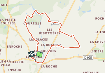

15.8 km | 17.2 km-effort


User


FREE GPS app for hiking
 SityTrail
IGN / Geographical institutes
SityTrail World
The world is yours!
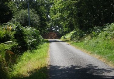
Trail Walking of 9.4 km to be discovered at Centre-Loire Valley, Indre, Azay-le-Ferron. This trail is proposed by Dupuybadonniere.
Walking

Walking

Walking