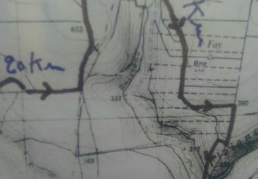
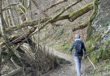
7.9 km | 9.9 km-effort
non la chapelle
Claude Luchetta
User
Length
5.2 km
Max alt
365 m
Uphill gradient
147 m
Km-Effort
6.9 km
Min alt
264 m
Downhill gradient
64 m
Boucle
No
Creation date :
2024-07-01 13:53:32.023
Updated on :
2024-07-01 15:31:09.302
1h37
Difficulty : Medium
FREE GPS app for hiking
About
Trail Walking of 5.2 km to be discovered at Grand Est, Ardennes, Givonne. This trail is proposed by Claude Luchetta.
Positioning
Country:
France
Region :
Grand Est
Department/Province :
Ardennes
Municipality :
Givonne
Location:
Unknown
Start:(Dec)
Start:(UTM)
643228 ; 5512825 (31U) N.
Comments
Trails nearby
SityTrail - OKBOUILLON Route MADAME proposition DNF Bouillon
Horseback riding
Medium
La Chapelle,
Grand Est,
Ardennes,
France
19.3 km | 25 km-effort
3h 18min
No
Du milieu de la forêt à Carignon
Walking
Medium
Bazeilles,
Grand Est,
Ardennes,
France
34 km | 39 km-effort
7h 53min
No
départ d'Olly, arrivée au milieu de la forêt domaniale de Sedan, Ardennes
Walking
Medium
Illy,
Grand Est,
Ardennes,
France
28 km | 36 km-effort
8h 51min
No
Abbaye de Clairefontaine/Bouillon.
Walking
Medium
Bouillon,
Wallonia,
Luxembourg,
Belgium
9.9 km | 13.4 km-effort
2h 48min
Yes
Saint Menges FFSP 4/9/22
Nordic walking
Difficult
Saint-Menges,
Grand Est,
Ardennes,
France
21 km | 27 km-effort
3h 17min
Yes
Corbion
Walking
Very difficult
Bouillon,
Wallonia,
Luxembourg,
Belgium
13.8 km | 19.9 km-effort
6h 17min
Yes
SityTrail - FUSION ATTELAGE BOUILLON
Coupling
Easy
La Chapelle,
Grand Est,
Ardennes,
France
23 km | 31 km-effort
Unknown
No
Sentier du Bois Talot
On foot
Easy
Illy,
Grand Est,
Ardennes,
France
7.9 km | 10 km-effort
2h 15min
Yes