


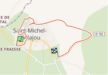

62 km | 77 km-effort


User


FREE GPS app for hiking
 SityTrail
IGN / Geographical institutes
SityTrail World
The world is yours!
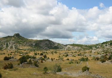
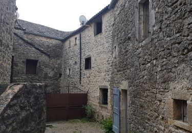
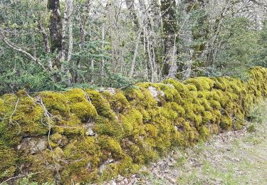
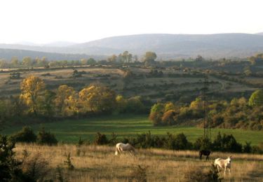
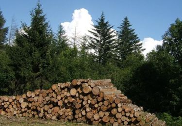
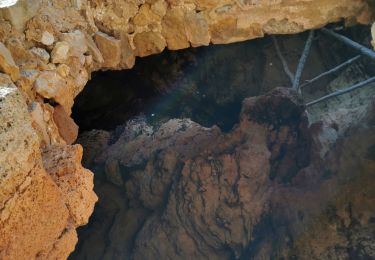
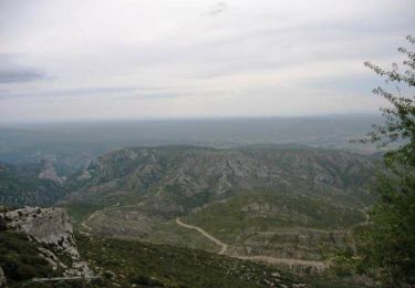
Trail of 2 km to be discovered at Occitania, Hérault, Saint-Michel. This trail is proposed by Malys34.
Cycle

Other activity
Walking
Walking
Mountain bike
Walking
Walking
Mountain bike

Walking