


7.6 km | 10.5 km-effort

User


FREE GPS app for hiking
 SityTrail
IGN / Geographical institutes
SityTrail World
The world is yours!
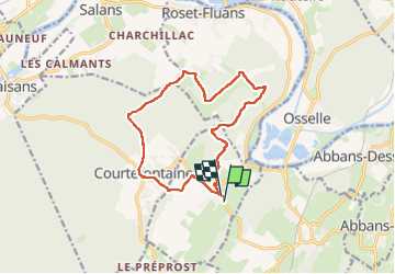
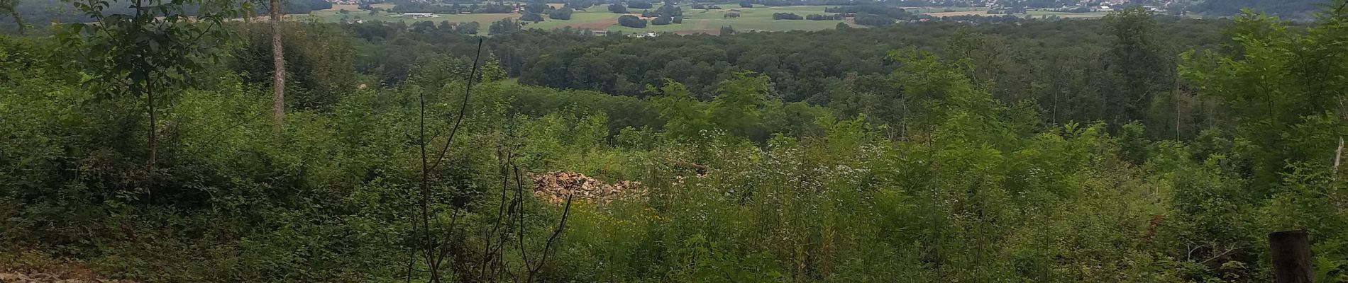
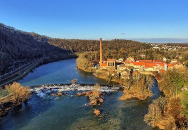
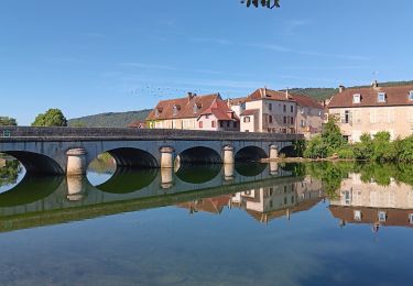
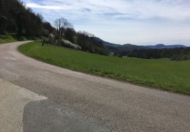
Trail Walking of 13.4 km to be discovered at Bourgogne-Franche-Comté, Doubs, Villars-Saint-Georges. This trail is proposed by eltonnermou.
à compléter
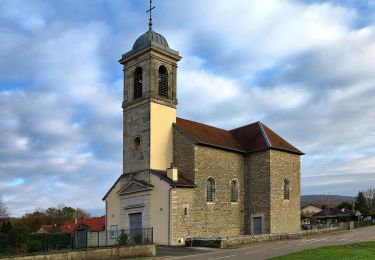
parking église


On foot
Walking
On foot

Walking
Walking
Walking
Walking
Road bike
Mountain bike