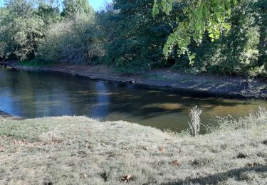
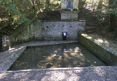
10.6 km | 13.2 km-effort
mombron
© OpenStreetMap contributors
Mountain bike
3h55
Difficulty : Very difficult
Length
67 km
Max alt
298 m
Uphill gradient
1300 m
Km-Effort
85 km
Min alt
114 m
Downhill gradient
1301 m
Boucle
Yes
Creation date :
2024-06-30 05:51:30.482
Updated on :
2024-06-30 10:03:12.183
3h55
Difficulty : Very difficult
FREE GPS app for hiking
About
Trail Mountain bike of 67 km to be discovered at New Aquitaine, Charente, Montbron. This trail is proposed by LUCQUIAUD Jean-Michel.
Positioning
Country:
France
Region :
New Aquitaine
Department/Province :
Charente
Municipality :
Montbron
Location:
Unknown
Start:(Dec)
Start:(UTM)
305924 ; 5060000 (31T) N.
Comments
Trails nearby
De Vouton en passant par Montbron avec retour par La Fenêtre
Walking
Easy
Vouthon,
New Aquitaine,
Charente,
France
3h 11min
Yes
Du moulin de Menet par chez Perry
Walking
Easy
Montbron,
New Aquitaine,
Charente,
France
8.7 km | 10.9 km-effort
2h 35min
Yes
gorges du Chambon
Walking
Medium
Eymouthiers,
New Aquitaine,
Charente,
France
14.4 km | 18.5 km-effort
4h 0min
Yes
la montbronnaise
Mountain bike
Medium
Montbron,
New Aquitaine,
Charente,
France
19.4 km | 25 km-effort
1h 42min
Yes
Orgedeuil circuit vert
Walking
Difficult
Orgedeuil,
New Aquitaine,
Charente,
France
9.8 km | 12.4 km-effort
2h 22min
Yes
boucle 12 : chambon 12 kms
Walking
Medium
Eymouthiers,
New Aquitaine,
Charente,
France
12.4 km | 15.6 km-effort
3h 33min
Yes
Tour Charentes le Chambon / Chassenon
Mountain bike
Very difficult
Eymouthiers,
New Aquitaine,
Charente,
France
64 km | 78 km-effort
5h 22min
No
TCVTT V5.5
Mountain bike
Very easy
Eymouthiers,
New Aquitaine,
Charente,
France
648 km | 778 km-effort
Unknown
Yes
T01-Eymouthiers à Roussines
Mountain bike
Very easy
Eymouthiers,
New Aquitaine,
Charente,
France
16.8 km | 22 km-effort
Unknown
No