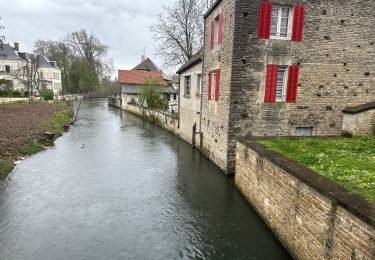
13.1 km | 15.9 km-effort
Étape 5 Bagneux la Fosse jusqu’à Chablis
Roydger
User
Length
61 km
Max alt
320 m
Uphill gradient
1039 m
Km-Effort
75 km
Min alt
129 m
Downhill gradient
1126 m
Boucle
No
Creation date :
2024-06-29 10:25:48.0
Updated on :
2024-06-29 10:25:49.503
FREE GPS app for hiking
About
Trail of 61 km to be discovered at Grand Est, Aube, Bagneux-la-Fosse. This trail is proposed by Roydger.
Description
Sur le GR 654 vers Compostelle
Positioning
Country:
France
Region :
Grand Est
Department/Province :
Aube
Municipality :
Bagneux-la-Fosse
Location:
Unknown
Start:(Dec)
Start:(UTM)
596829 ; 5316225 (31T) N.
Comments
Trails nearby
Chemin de Compostelle, Voie de Vézelay GR654® De Avirey Lingey à Etourvy
Walking
Difficult
Avirey-Lingey,
Grand Est,
Aube,
France
25 km | 32 km-effort
5h 10min
No
Cirkwi-Les_Riceys___circuit_des_cadoles
Walking
Medium
Les Riceys,
Grand Est,
Aube,
France
16.9 km | 21 km-effort
Unknown
Yes
les Riceys 24
Walking
Medium
Les Riceys,
Grand Est,
Aube,
France
13.5 km | 16.3 km-effort
4h 31min
Yes
13994406-Les_Riceys_M_17052222
Walking
Difficult
Les Riceys,
Grand Est,
Aube,
France
14.5 km | 18 km-effort
4h 4min
Yes
les riceys 22
Walking
Medium
Les Riceys,
Grand Est,
Aube,
France
16.9 km | 21 km-effort
4h 14min
Yes
riceys laignes
Hybrid bike
Very easy
Les Riceys,
Grand Est,
Aube,
France
23 km | 26 km-effort
1h 44min
No
les riceys le replat blanc
Walking
Easy
Les Riceys,
Grand Est,
Aube,
France
11.9 km | 14.8 km-effort
3h 18min
Yes