


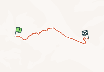

6.6 km | 12.6 km-effort


User


FREE GPS app for hiking
 SityTrail
IGN / Geographical institutes
SityTrail World
The world is yours!
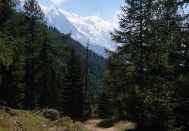
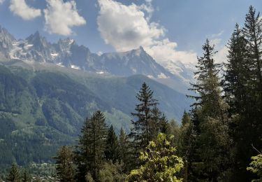
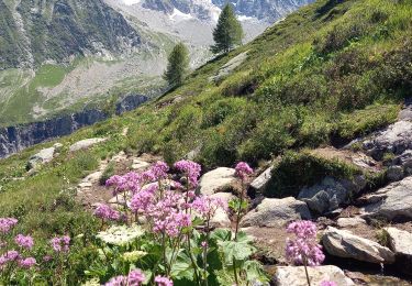
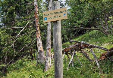
Trail Other activity of 6.1 km to be discovered at Auvergne-Rhône-Alpes, Upper Savoy, Chamonix-Mont-Blanc. This trail is proposed by srdt29.
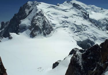
1er jour - Ski de randonnée
- Grands Montets 3230m
- Refuge d'argentière 2771m
(Exercices de DVA avant arrivée au refuge)

Walking
Walking
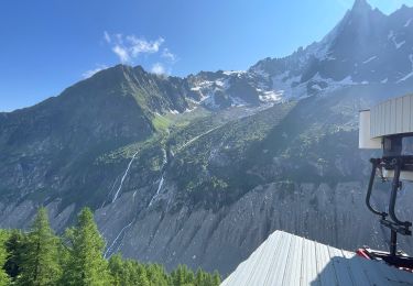
Walking

Walking
Walking
Walking
Walking
Walking
Walking