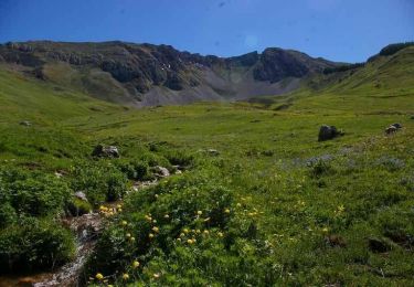
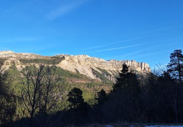
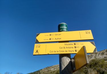
15.2 km | 28 km-effort
les monges
Patrick04
User
Length
14.1 km
Max alt
2110 m
Uphill gradient
930 m
Km-Effort
27 km
Min alt
1225 m
Downhill gradient
926 m
Boucle
Yes
Creation date :
2024-06-29 08:12:20.082
Updated on :
2024-06-29 08:12:21.941
6h01
Difficulty : Difficult
FREE GPS app for hiking
About
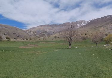
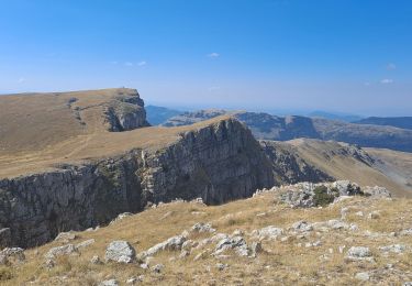
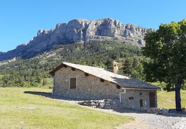
Trail Walking of 14.1 km to be discovered at Provence-Alpes-Côte d'Azur, Alpes-de-Haute-Provence, Authon. This trail is proposed by Patrick04.
Positioning
Country:
France
Region :
Provence-Alpes-Côte d'Azur
Department/Province :
Alpes-de-Haute-Provence
Municipality :
Authon
Location:
Unknown
Start:(Dec)
Start:(UTM)
272033 ; 4903545 (32T) N.
Comments
Trails nearby
20180912_Monges_Authon_Boucle_Sommet Coste belle
Walking
Difficult
(1)
Authon,
Provence-Alpes-Côte d'Azur,
Alpes-de-Haute-Provence,
France
5h 35min
Yes
Le sommet des Monges - Bayons
Walking
Very difficult
(1)
Bayons,
Provence-Alpes-Côte d'Azur,
Alpes-de-Haute-Provence,
France
13.3 km | 22 km-effort
5h 0min
Yes
AUTHON Faissal La Croix de Vey ré Sommet de Chine o
Walking
Difficult
(1)
Authon,
Provence-Alpes-Côte d'Azur,
Alpes-de-Haute-Provence,
France
6.6 km | 13.8 km-effort
4h 50min
Yes
Autour de Fontbelle 18/12/2024
Walking
Difficult
Le Castellard-Mélan,
Provence-Alpes-Côte d'Azur,
Alpes-de-Haute-Provence,
France
9.4 km | 15 km-effort
3h 24min
Yes
AUTHON. GROTTE. COL DE L AIGUILLE O L
Walking
Difficult
Authon,
Provence-Alpes-Côte d'Azur,
Alpes-de-Haute-Provence,
France
12.1 km | 20 km-effort
3h 46min
No
AUTHON . FAISSAL .LES MONGES . LA CROIX DE VEYRE O L M
Walking
Very difficult
Authon,
Provence-Alpes-Côte d'Azur,
Alpes-de-Haute-Provence,
France
14.3 km | 25 km-effort
4h 47min
Yes
AUTHON . COL DE LA SAPIE .CRETE DU CLOT DES MARTHES . CABAN DE CHINE N
Walking
Difficult
Authon,
Provence-Alpes-Côte d'Azur,
Alpes-de-Haute-Provence,
France
13.6 km | 22 km-effort
4h 15min
Yes
SityTrail - Les Monges au départ de Authon
On foot
Difficult
Authon,
Provence-Alpes-Côte d'Azur,
Alpes-de-Haute-Provence,
France
14.2 km | 27 km-effort
6h 2min
Yes
AUTHON Fontbelle, piste forestière du Pras au pied de Gueruen, col d Ainac ...
Walking
Easy
Le Castellard-Mélan,
Provence-Alpes-Côte d'Azur,
Alpes-de-Haute-Provence,
France
14.7 km | 21 km-effort
3h 37min
Yes