


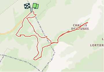

8.8 km | 14.5 km-effort

User


FREE GPS app for hiking
 SityTrail
IGN / Geographical institutes
SityTrail World
The world is yours!
Trail Walking of 12.2 km to be discovered at Auvergne-Rhône-Alpes, Upper Savoy, Fillière. This trail is proposed by GuyVachet.
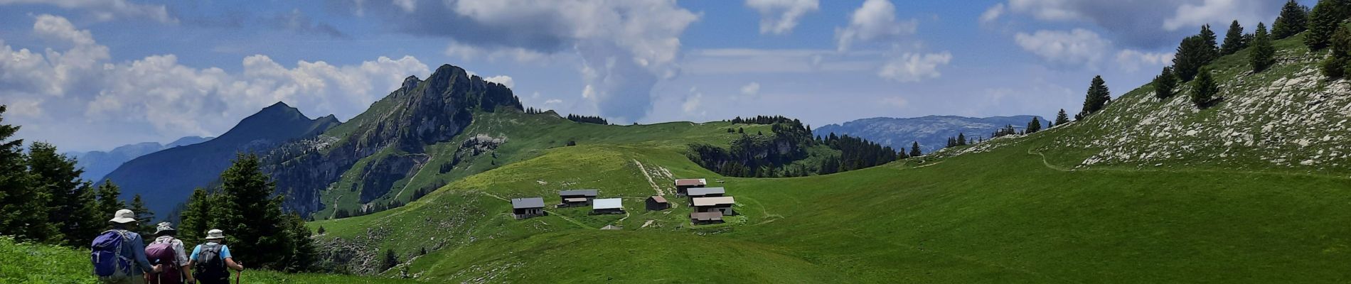
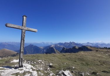
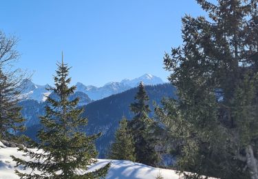
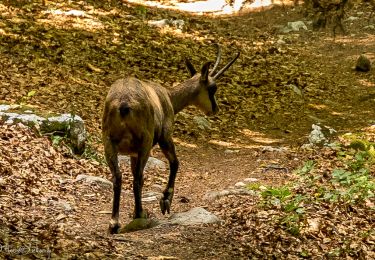
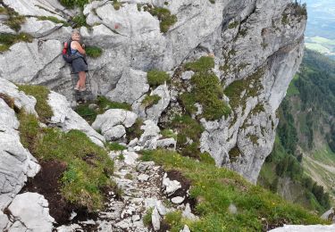
Boucle pour les chalets des Auges. La première partie est une montée en forêt en partant du remarquable monument de la Résistance des Glières. Au Plan du Loup, la vue s'ouvre sur un beau cirque calcaire et après une montée finale par le Pas du Loup, on prend pied sur la Montagne des Auges avec rapidement une vue imprenable sur la chaîne des Aravis et le Mont-Blanc d'un côté et du plateau perché des Glières de l'autre. Le passage par les chalets s'impose alors et le retour par le Chalet du Loup (avec un petit détour pour contourner un troupeau de chèvres ;-) avant de poursuivre la descente par les Mouilles et la Maison du Plateau.


Walking

Walking
Walking
Walking
Walking
Walking
Snowshoes
Walking
Walking