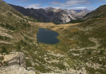
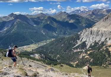
4.2 km | 5.9 km-effort
chemin noir aiguile rouge
obiwanjj
User
Length
877 m
Max alt
2349 m
Uphill gradient
0 m
Km-Effort
1.8 km
Min alt
2051 m
Downhill gradient
285 m
Boucle
No
Creation date :
2024-06-28 10:20:57.25
Updated on :
2024-06-28 10:55:08.025
33m
Difficulty : Easy
FREE GPS app for hiking
About
Trail Walking of 877 m to be discovered at Provence-Alpes-Côte d'Azur, Hautes-Alpes, Névache. This trail is proposed by obiwanjj.
Description
chemin noir aiguille rouge
Positioning
Country:
France
Region :
Provence-Alpes-Côte d'Azur
Department/Province :
Hautes-Alpes
Municipality :
Névache
Location:
Unknown
Start:(Dec)
Start:(UTM)
314390 ; 4990490 (32T) N.
Comments
Trails nearby
Lac Vert.Vallée Etroite.(27-09-17)
Walking
Very easy
(1)
Névache,
Provence-Alpes-Côte d'Azur,
Hautes-Alpes,
France
1h 19min
Yes
les granges de la vallée étroite au refuge du Mont Thabor
Walking
Easy
(1)
Névache,
Provence-Alpes-Côte d'Azur,
Hautes-Alpes,
France
8.6 km | 16.2 km-effort
3h 44min
No
Tour des Rois Mages en VTT - Névache
Mountain bike
Difficult
(2)
Névache,
Provence-Alpes-Côte d'Azur,
Hautes-Alpes,
France
35 km | 55 km-effort
5h 0min
Yes
Via Alpina - R127: Névache > Le Monêtier-les-Bains
Walking
Difficult
(1)
Névache,
Provence-Alpes-Côte d'Azur,
Hautes-Alpes,
France
15.5 km | 28 km-effort
5h 0min
No
Gardiette
Walking
Easy
Névache,
Provence-Alpes-Côte d'Azur,
Hautes-Alpes,
France
16.6 km | 32 km-effort
7h 33min
Yes
le Mont Thabor
Walking
Difficult
Névache,
Provence-Alpes-Côte d'Azur,
Hautes-Alpes,
France
19.9 km | 40 km-effort
8h 44min
Yes
Plampinet Clarée aval
Walking
Easy
Névache,
Provence-Alpes-Côte d'Azur,
Hautes-Alpes,
France
8.2 km | 10 km-effort
2h 17min
Yes
Plampinet Clarée amont
Walking
Easy
(1)
Névache,
Provence-Alpes-Côte d'Azur,
Hautes-Alpes,
France
6.2 km | 7.7 km-effort
1h 27min
Yes
L'Aiguille rouge et Lac Chavillon : Panorama sur la vallée de la Clarée
Walking
Very difficult
Névache,
Provence-Alpes-Côte d'Azur,
Hautes-Alpes,
France
15.4 km | 29 km-effort
6h 29min
Yes