


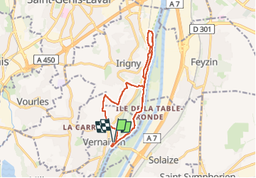

9.2 km | 11.6 km-effort

User


FREE GPS app for hiking
 SityTrail
IGN / Geographical institutes
SityTrail World
The world is yours!
Trail Walking of 12.8 km to be discovered at Auvergne-Rhône-Alpes, Métropole de Lyon, Vernaison. This trail is proposed by SyMA.
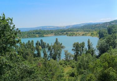
2eme partie boisée et fraiche le long du Rhone
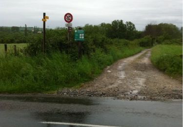
avec Retour le long du Rhône délicat car végétation a repris le dessus


Walking
On foot
Walking
Walking

Walking
Mountain bike
Mountain bike
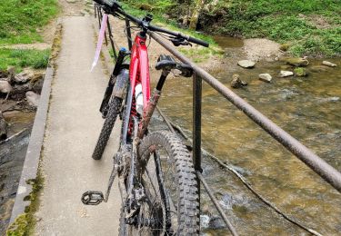
Mountain bike
Walking