8.5 km | 10 km-effort
NewTrack
portefaix
User
Length
15.2 km
Max alt
221 m
Uphill gradient
253 m
Km-Effort
18.6 km
Min alt
117 m
Downhill gradient
253 m
Boucle
Yes
Creation date :
2024-06-27 12:02:58.85
Updated on :
2024-06-27 12:04:16.957
4h13
Difficulty : Easy
FREE GPS app for hiking
About
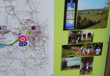
Trail On foot of 15.2 km to be discovered at Pays de la Loire, Sarthe, Saint-Longis. This trail is proposed by portefaix.
Positioning
Country:
France
Region :
Pays de la Loire
Department/Province :
Sarthe
Municipality :
Saint-Longis
Location:
Unknown
Start:(Dec)
Start:(UTM)
303477 ; 5359228 (31U) N.
Comments
Trails nearby
Forêt de Perseigne et Haute Sarthe - Circuit n°6
Mountain bike
Difficult
Villaines-la-Carelle,
Pays de la Loire,
Sarthe,
France
26 km | 34 km-effort
2h 30min
Yes
Au fil des chemins du Saosnois - Circuit n°5
Mountain bike
Medium
Mamers,
Pays de la Loire,
Sarthe,
France
28 km | 34 km-effort
2h 0min
Yes
mamers
Walking
Very easy
Mamers,
Pays de la Loire,
Sarthe,
France
4.6 km | 5.1 km-effort
2h 12min
Yes
2012-05-19 16h26m08
Walking
Medium
Mamers,
Pays de la Loire,
Sarthe,
France
24 km | 28 km-effort
5h 43min
Yes